Toggle navigation
LMEC Home
Collections
My Favorites
Exhibitions
Georeferencing
Tools for Teachers
Sign Up / Log In
Search
Search the map portal
Search
Search
Search for
Search in
All Fields
Title
Subject
Place
Creator
Search All Digital Collections
Advanced Search
478 Results
Search Constraints
My Search
Start Over
More like
commonwealth:1257hc995
Remove constraint More like: commonwealth:1257hc995
Filter your Search
Show filters
Hide filters
Place
North and Central America
428
United States
287
Canada
96
North America
86
Asia
26
New York
23
Pennsylvania
19
Great Lakes Region
15
more
Place
»
Topic
United States--Maps--Early works to 1800
106
Canada--Maps--Early works to 1800
79
North America--Maps--Early works to 1800
77
Great Lakes Region (North America)--Maps--Early works to 1800
14
New England--Maps--Early works to 1800
12
Northeastern States--Maps--Early works to 1800
12
Pennsylvania--Maps--Early works to 1800
11
United States--Maps
10
more
Topic
»
Creator
Bellin, Jacques Nicolas, 1703-1772
27
Jefferys, Thomas, -1771
20
Robert Sayer and John Bennett (Firm)
19
Faden, William, 1749-1836
16
Gibson, J. (John), active 1750-1792
14
Carleton, Osgood, 1742-1816
13
Bowles, Carington, 1724-1793
11
Mitchell, John, 1711-1768
11
more
Creator
»
Format
Maps/Atlases
476
Manuscripts
5
Paintings
3
Objects/Artifacts
2
Ephemera
1
Prints
1
Georeferenced
Yes
32
No
446
Collection
American Revolutionary War-Era Maps
408
MacLean Collection Map Library
384
Norman B. Leventhal Map & Education Center Collection
44
New York Public Library Collection
16
Richard H. Brown Revolutionary War Map Collection at Mount Vernon
11
Library and Archives Canada Collection
8
The New York Historical Collection
4
Filson Historical Society Collection
3
more
Collection
»
Available to use
No known restrictions
46
Creative Commons license
33
Sort
by date (desc)
relevance
title
date (asc)
date (desc)
recently added
Number of results to display per page
10
per page
per page
10
per page
20
per page
50
per page
100
per page
Search Results
31.
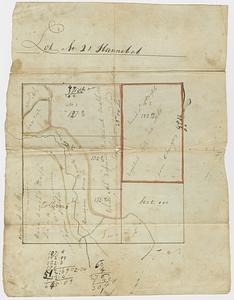
Lot no. 21 Hannibal
32.
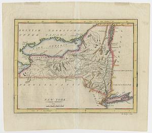
New York
33.
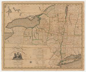
A map of the state of New York
34.
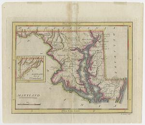
Maryland
35.
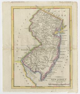
New Jersey
36.
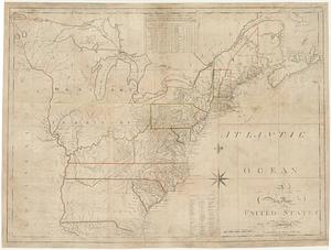
A new map of the United States of America : drawn from the latest authorities
37.
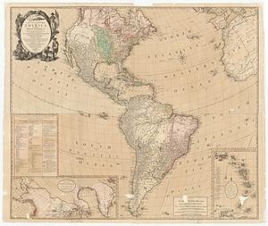
Bowles's new four-sheet map of America, and the West Indies, wherein are particularly ascertained the limits and extent of the...
38.
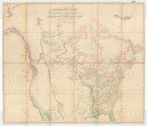
A map exhibiting all the new discoveries, in the interior parts of North America : inscribed by permission to the honorable...
39.
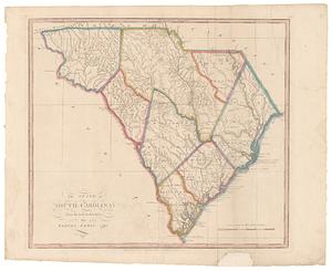
The state of South Carolina: from the best authorities
40.
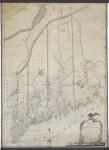
An accurate map, of the district of Maine being part of the commonwealth of Massachusetts : compiled pursuant to an act of the...
« Previous
Next »
1
2
3
4
5
6
7
8
…
47
48