Toggle navigation
LMEC Home
Exhibitions
Georeferencing
Tools for Teachers
Collections
My Favorites
Sign Up / Log In
Search
Search the map portal
Map Collection
Map Collection
Map Sets
Search
Search
Search for
Search In
All Fields
Creator
Title
Subject
Place
Search All Digital Collections
Advanced Search
8931 Results
My Search
Start Over
More Like
commonwealth:1257c311p
Remove constraint More Like: commonwealth:1257c311p
Filter your Search
Place
North and Central America
6,162
United States
5,078
Massachusetts
2,150
Europe
1,396
Suffolk (county)
1,277
Boston
1,250
Canada
449
Asia
438
more
Place
»
Topic
Boston (Mass.)--Maps
753
United States--Maps
282
Real property--Massachusetts--Boston--Maps
254
City planning--Massachusetts--Boston--Maps
196
Landowners--Massachusetts--Boston--Maps
170
Massachusetts--Maps
166
New England--Maps
104
North America--Maps--Early works to 1800
103
more
Topic
»
Date
Date range begin
–
Date range end
Current results range from
1482
to
2023
View distribution
Creator
United States. Hydrographic Office
595
Boston Redevelopment Authority
202
O.H. Bailey & Co
148
Des Barres, Joseph F. W. (Joseph Frederick Wallet), 1722-1824
124
United States. Post Office Dept
120
Ptolemy, 2nd cent
100
Walling, Henry Francis, 1825-1888
94
Geological Survey (U.S.)
87
more
Creator
»
Format
Maps/Atlases
8,871
Manuscripts
215
Prints
56
Books
36
Objects/Artifacts
10
Drawings/Illustrations
8
Posters
5
Georeferenced
Yes
885
No
8,046
Collection
Norman B. Leventhal Map & Education Center Collection
8,725
Boston and New England Maps
2,401
Urban Maps
2,185
Maritime Charts and Atlases
1,083
American Revolutionary War-Era Maps
638
Boston Redevelopment Authority Collection
233
Massachusetts Real Estate Atlases
38
Mapping Boston Collection
20
more
Collection
»
Available to use
No known restrictions
8,708
Creative Commons license
70
Search Constraints
Sort by relevance
relevance
title
date (asc)
date (desc)
Number of results to display per page
20 per page
10
per page
20
per page
50
per page
100
per page
View results as:
grid view
map view
Search Results
4221.
Map of Ho-De-No-Sau-Nee-Ga or the people of the long house : compiled 1851 by Lewis H. Morgan & Ely S. Parker a Seneca sachem...
4222.
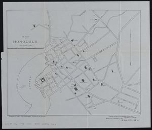
Map of Honolulu
4223.
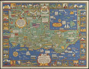
A map of Honolulu and the Sandwich Islands which we now call the Hawaiian Islands
4224.
Map of Housatonic
4225.
Map of Hyde Park and Milton
4226.
Map of Hyde Park and Vicinity : Norfolk County, Mass
4227.
Map of Illinois
4228.
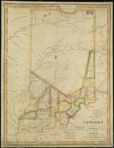
Map of Indiana
4229.
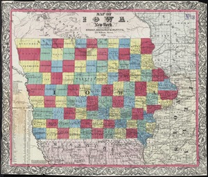
Map of Iowa
4230.
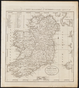
A map of Ireland according to the best authorities
4231.
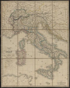
Map of Italy and Switzerland
4232.
Map of Italy with the ancient and modern names
4233.
Map of Jackson County, Michigan
4234.
Map of Jaffrey, N.H.
4235.
Map of Jamaica : prepared from the best authorities by order of His Excellency Sir Henry Wylie Norman, G.C.B. G.C.M.G., C.I.E.,...
4236.
[Map of Japan]
4237.
Map of Japan
4238.
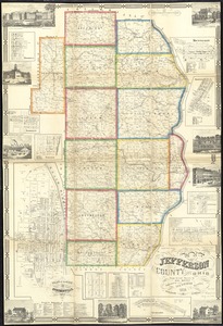
Map of Jefferson County, Ohio : from actual surveys
4239.
Map of Jeffersonville enlarged
4240.
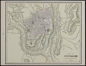
Map of Jerusalem : reduced from the Ordnance Survey ; Smyrna ; the Maltese Islands
‹ Prev
Next ›
1
2
…
208
209
210
211
212
213
214
215
216
…
446
447


![[Map of Japan]](https://bpldcassets.blob.core.windows.net/derivatives/images/commonwealth:794083229/image_thumbnail_300.jpg)