Toggle navigation
LMEC Home
Exhibitions
Georeferencing
Tools for Teachers
Collections
My Favorites
Sign Up / Log In
Search
Search the map portal
Map Collection
Map Collection
Map Sets
Search
Search
Search for
Search In
All Fields
Creator
Title
Subject
Place
Search All Digital Collections
Advanced Search
8168 Results
My Search
Start Over
More Like
commonwealth:1257b917d
Remove constraint More Like: commonwealth:1257b917d
Filter your Search
Place
North and Central America
4,912
United States
3,602
Suffolk (county)
1,026
Boston
999
Europe
963
Canada
427
France
269
Massachusetts
249
more
Place
»
Topic
Boston (Mass.)--Maps
574
United States--Maps
270
Real property--Massachusetts--Boston--Maps
174
Massachusetts--Maps
160
Landowners--Massachusetts--Boston--Maps
132
North America--Maps--Early works to 1800
103
New England--Maps
99
Europe--Maps
78
more
Topic
»
Date
Date range begin
–
Date range end
Current results range from
1482
to
2023
View distribution
Creator
United States. Hydrographic Office
357
O.H. Bailey & Co
148
Des Barres, Joseph F. W. (Joseph Frederick Wallet), 1722-1824
123
United States. Post Office Dept
120
Ptolemy, 2nd cent
100
Walling, Henry Francis, 1825-1888
94
Jefferys, Thomas, -1771
84
Geological Survey (U.S.)
82
more
Creator
»
Format
Maps/Atlases
8,109
Manuscripts
215
Prints
51
Books
36
Objects/Artifacts
10
Drawings/Illustrations
8
Posters
4
Georeferenced
Yes
869
No
7,299
Collection
Norman B. Leventhal Map Center Collection
8,162
Boston and New England Maps
2,184
Urban Maps
1,925
Maritime Charts and Atlases
750
American Revolutionary War-Era Maps
621
Boston Redevelopment Authority Collection
86
William L. Clements Library Collection
5
Sidney R. Knafel Map Collection at Phillips Academy
1
Available to use
No known restrictions
8,021
Creative Commons license
46
Search Constraints
Sort by relevance
relevance
title
date (asc)
date (desc)
Number of results to display per page
20 per page
10
per page
20
per page
50
per page
100
per page
View results as:
grid view
map view
Search Results
1.
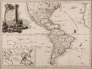
America : Nach Arrowsmith, Brué und Lapie mit Benutzung der neuesten Vermessungen
2.
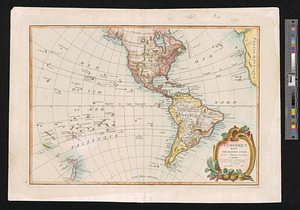
America
3.
America, with the European Settlements, and the conquests of Cortes and Pizarro
4.
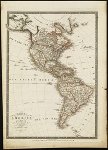
Géographie de l'Amérique
5.
Karte von America
6.
Americae siue noui orbis, noua descriptio
7.
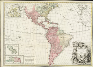
L'Amérique divisée en ses principaux états
8.
Naval chart of the Pacific and western Atlantic
9.
Now see America by Grace Line
10.
Pictorial map of the American continent : featuring the Pan American Highway and showing some of the natural resources, scenic...
11.
A two-way street between the Americas
12.
America
13.
Amerika
14.
Carte du nouveau continent : selon sa plus grande longueur diametrale depuis la Riviere de la Plata jusqu'au de la du Lac des...
15.
Western hemisphere
16.
Westliche halbkugel
17.
The World, on the globular projection with a graduation for the measurement of distances especially adapted for the use oe...
18.
Americae siue noui orbis, noua descriptio
19.
America, engraved according to recent geographical observations
20.
L'Amérique, divisée par grands etats
‹ Prev
Next ›
1
2
3
4
5
…
408
409


![The World, on the globular projection with a graduation for the measurement of distances especially adapted for the use oe [sic] schools, geographical & historical lectures, and missionary meetings](https://bpldcassets.blob.core.windows.net/derivatives/images/commonwealth:ww72bp12b/image_thumbnail_300.jpg)