Toggle navigation
LMEC Home
Collections
My Favorites
Exhibitions
Georeferencing
Tools for Teachers
Sign Up / Log In
Search
Search the map portal
Search
Search
Search for
Search in
All Fields
Title
Subject
Place
Creator
Search All Digital Collections
Advanced Search
8900 Results
Search Constraints
My Search
Start Over
More like
commonwealth:0z709586t
Remove constraint More like: commonwealth:0z709586t
Filter your Search
Show filters
Hide filters
Place
North and Central America
6,085
United States
4,989
Massachusetts
2,161
Europe
1,415
Suffolk (county)
1,067
Boston
1,036
Canada
459
Asia
445
more
Place
»
Topic
Boston (Mass.)--Maps
597
United States--Maps
283
Real property--Massachusetts--Boston--Maps
175
Massachusetts--Maps
170
Landowners--Massachusetts--Boston--Maps
133
New England--Maps
106
North America--Maps--Early works to 1800
103
Europe--Maps
81
more
Topic
»
Creator
United States. Hydrographic Office
596
O.H. Bailey & Co
148
Des Barres, Joseph F. W. (Joseph Frederick Wallet), 1722-1824
122
United States. Post Office Dept
120
Ptolemy, 2nd cent
100
Geological Survey (U.S.)
98
Walling, Henry Francis, 1825-1888
94
Jefferys, Thomas, -1771
85
more
Creator
»
Format
Maps/Atlases
8,836
Manuscripts
215
Prints
56
Books
40
Objects/Artifacts
11
Drawings/Illustrations
8
Posters
5
Georeferenced
Yes
965
No
7,935
Collection
Norman B. Leventhal Map & Education Center Collection
8,899
Boston and New England Maps
2,331
Urban Maps
2,043
Maritime Charts and Atlases
1,083
American Revolutionary War-Era Maps
620
Boston Redevelopment Authority Collection
87
U.S. Government Documents Maps Collection
1
Available to use
No known restrictions
8,745
Creative Commons license
60
Sort
by relevance
relevance
title
date (asc)
date (desc)
recently added
Number of results to display per page
20
per page
per page
10
per page
20
per page
50
per page
100
per page
Search Results
1.
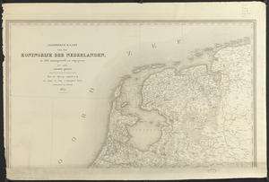
Algemeene kaart van het Koningrijk der Nederlanden, in 1816 zamengesteld
2.
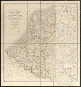
Carte physique et routière du royaume des Pays-Bas : indiquant les canaux de différentes classes, les relais de poste et...
3.
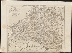
The Austrian French and Dutch Netherlands, from the best authorities
4.
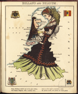
Holland and Belgium
5.
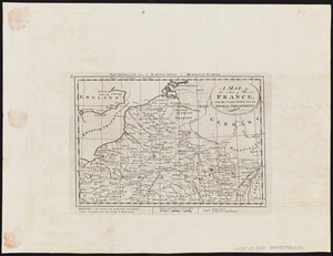
A map of the seat of war in France, with the country divided into its several departments
6.
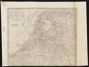
The Seven United Provinces of Holland, Groningen, Gelders, Friesland, Overyssel, Utrecht and Zealand : from the best authorities
7.
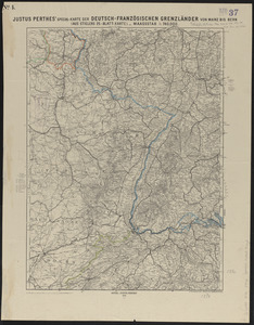
Justus Perthes' special-karte der Deutsch-Französischen Grenzländer von Mainz bis Bern : (aus Stielers 25-blatt-karte)
8.
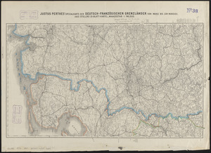
Justus Perthes' specialkarte der Deutsch-Französischen Grenzländer von Mainz bis zur Nordsee : (aus Stielers 25-blatt-karte)
9.
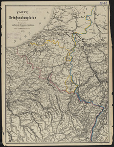
Karte vom kriegsschauplatze in autographie : herausgegeben zum besten der verwundeten u. hinterbliebenen
10.
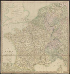
A new map of France, Belgium, Switzerland &c. : containing all the post & cross roads, with the rivers, & canals, also the old...
11.
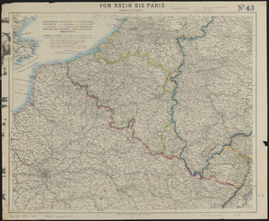
Vom Rhein bis Paris
12.
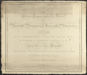
Choro-topographische kaart der Noordelijke provincien van het Koningrijk der Nederlanden
13.
[Het ko]ningrijk [d]er Nederlanden
14.
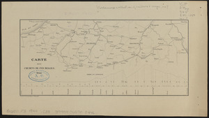
Carte des chemins de fer Belges
15.
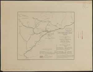
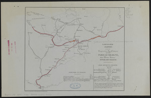
Comparative map of distances between Paris & Cologne, and likewise between Dover and Cologne
16.
Comparative map of distances between Paris & Cologne, and likewise between Dover and Cologne
17.
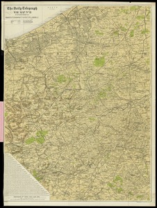
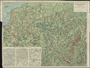
The Daily Telegraph war map no. 11
18.
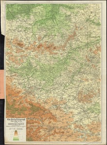
The Daily Telegraph war map no. 13 of the British front
19.
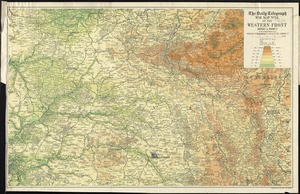
The Daily Telegraph war map no. 14 : of the western front, Arras to Nancy
20.
The Daily Telegraph war map no. 16
« Previous
Next »
1
2
3
4
5
…
444
445