Toggle navigation
LMEC Home
Collections
My Favorites
Exhibitions
Georeferencing
Tools for Teachers
Sign Up / Log In
Search
Search the map portal
Search
Search
Search for
Search in
All Fields
Title
Subject
Place
Creator
Search All Digital Collections
Advanced Search
714 Results
Search Constraints
My Search
Start Over
More like
commonwealth:0g356z00s
Remove constraint More like: commonwealth:0g356z00s
Filter your Search
Show filters
Hide filters
Place
Massachusetts
711
North and Central America
711
United States
711
Suffolk (county)
701
Boston
700
Roxbury
75
South End
58
Fens
49
more
Place
»
Topic
City planning--Massachusetts--Boston--Maps
422
Real property--Massachusetts--Boston--Maps
263
Urban renewal--Massachusetts--Boston--Maps
253
Boston (Mass.)--Maps
231
Landowners--Massachusetts--Boston--Maps
176
Buildings--Massachusetts--Boston--Maps
116
Land use--Massachusetts--Boston--Maps
101
Roxbury (Boston, Mass.)--Maps
72
more
Topic
»
Creator
Boston Redevelopment Authority
375
Bromley, George Washington
68
Bromley, Walter Scott
68
G.W. Bromley & Co.
46
Wadsworth, Alexander, 1806-1898
19
Lamb, George
16
Hopkins, Griffith Morgan, Jr.
15
Downtown Waterfront Corporation
10
more
Creator
»
Format
Maps/Atlases
713
Documents
5
Manuscripts
5
Drawings/Illustrations
3
Prints
1
Georeferenced
Yes
121
No
593
Collection
Boston and New England Maps
662
Urban Maps
643
Boston Redevelopment Authority Collection
442
Norman B. Leventhal Map & Education Center Collection
291
Massachusetts Real Estate Atlases
35
American Revolutionary War-Era Maps
3
Dana F. Perkins, Inc. Surveying Records
3
Massachusetts Historical Society Map Collection
2
more
Collection
»
Available to use
No known restrictions
674
Creative Commons license
4
Sort
by relevance
relevance
title
date (asc)
date (desc)
recently added
Number of results to display per page
10
per page
per page
10
per page
20
per page
50
per page
100
per page
Search Results
681.
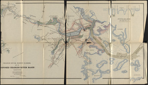
Charles River, Boston Harbor, and the proposed Charles River basin : prepared to accompany report made to Henry L. Higginson,...
682.
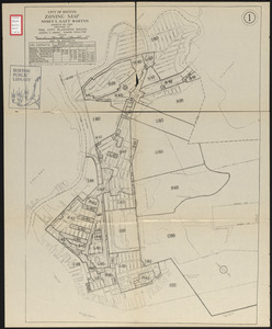
City of Boston zoning map
683.
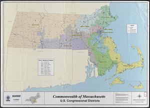
Commonwealth of Massachusetts U.S. congressional districts
684.
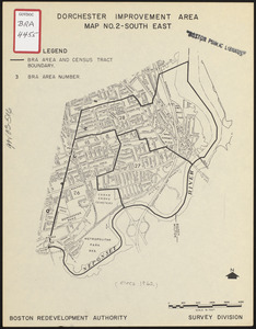
Dorchester improvement area, map no. 2 - south east
685.
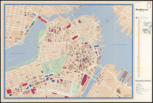
Downtown Boston
686.
Index map of watersheds showing sanitary districts and bacteriological sampling stations
687.
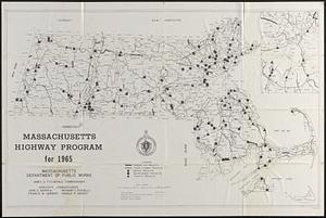
Massachusetts highway program for 1965
688.
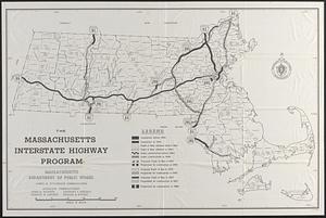
The Massachusetts interstate highway program
689.
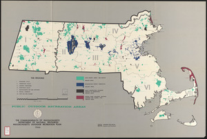
Massachusetts outdoor recreation plan 1966 : public outdoor recreation areas
690.
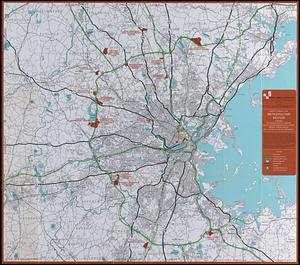
Master highway plan metropolitan Boston showing the Massachusetts turnpike, route 128 (circumferential highway), Boston central...
« Previous
Next »
1
2
…
65
66
67
68
69
70
71
72