Toggle navigation
LMEC Home
Collections
My Favorites
Exhibitions
Georeferencing
Tools for Teachers
Sign Up / Log In
Search
Search the map portal
Search
Search
Search for
Search in
All Fields
Title
Subject
Place
Creator
Search All Digital Collections
Advanced Search
711 Results
Search Constraints
My Search
Start Over
More like
commonwealth:0g356z00s
Remove constraint More like: commonwealth:0g356z00s
Filter your Search
Show filters
Hide filters
Place
Massachusetts
708
North and Central America
708
United States
708
Suffolk (county)
698
Boston
697
Roxbury
75
South End
58
Charlestown
47
more
Place
»
Topic
City planning--Massachusetts--Boston--Maps
420
Real property--Massachusetts--Boston--Maps
260
Urban renewal--Massachusetts--Boston--Maps
253
Boston (Mass.)--Maps
231
Landowners--Massachusetts--Boston--Maps
175
Buildings--Massachusetts--Boston--Maps
116
Land use--Massachusetts--Boston--Maps
101
Roxbury (Boston, Mass.)--Maps
72
more
Topic
»
Creator
Boston Redevelopment Authority
375
Bromley, George Washington
68
Bromley, Walter Scott
68
G.W. Bromley & Co.
46
Wadsworth, Alexander, 1806-1898
19
Lamb, George
16
Hopkins, Griffith Morgan, Jr.
15
Downtown Waterfront Corporation
10
more
Creator
»
Format
Maps/Atlases
710
Manuscripts
5
Documents
4
Drawings/Illustrations
3
Prints
1
Georeferenced
Yes
121
No
590
Collection
Boston and New England Maps
659
Urban Maps
640
Boston Redevelopment Authority Collection
442
Norman B. Leventhal Map & Education Center Collection
288
Massachusetts Real Estate Atlases
35
American Revolutionary War-Era Maps
3
Massachusetts Historical Society Map Collection
2
Applied Geographics, Inc. Records
1
more
Collection
»
Available to use
No known restrictions
671
Creative Commons license
4
Sort
by date (asc)
relevance
title
date (asc)
date (desc)
recently added
Number of results to display per page
10
per page
per page
10
per page
20
per page
50
per page
100
per page
Search Results
121.
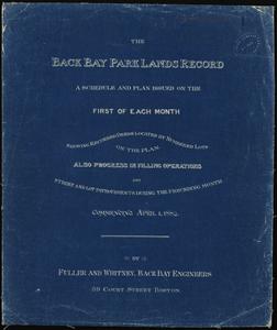
The Back Bay Park lands record : a schedule and plan issued on the first of each month showing recorded deeds located by...
122.
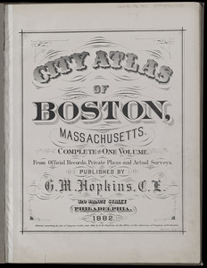
City atlas of Boston, Massachusetts : complete in one volume : from official records, private plans and actual surveys
123.
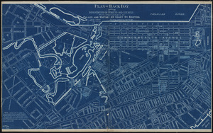
Plan of Back Bay showing improvements on streets and estates
124.
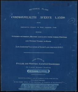
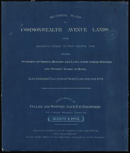
Sectional plans of Commonwealth Avenue lands from Dartmouth Street to West Chester Park, showing street-numbers, houses and...
125.
Sectional plans of Commonwealth Avenue lands from Dartmouth Street to West Chester Park, showing street-numbers, houses and...
126.
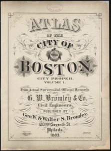
Atlas of the city of Boston : city proper : volume 1 : from actual surveys and official records
127.
[Plan of lots on Falmouth Street, Boston]
128.
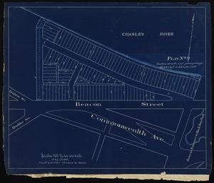
Plan no. 2 : [West Chester Park]
129.
Atlas of the city of Boston : vol. 5, West Roxbury
130.
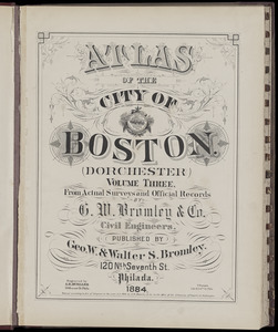
Atlas of the city of Boston : Dorchester : volume three : from actual surveys and official records
« Previous
Next »
1
2
…
9
10
11
12
13
14
15
16
17
…
71
72