Toggle navigation
LMEC Home
Collections
My Favorites
Exhibitions
Georeferencing
Tools for Teachers
Sign Up / Log In
Search
Search the map portal
Search
Search
Search for
Search in
All Fields
Title
Subject
Place
Creator
Search All Digital Collections
Advanced Search
7 Results
Search Constraints
My Search
Start Over
Place
Woburn
Remove constraint Place: Woburn
Filter your Search
Show filters
Hide filters
Place
Massachusetts
7
Middlesex (county)
7
North and Central America
7
United States
7
Woburn
[remove]
7
Middlesex Canal
2
Topic
Woburn (Mass.)--Maps
5
Canals--Massachusetts--Maps
2
Landowners--Massachusetts--Woburn--Maps
2
Middlesex Canal (Mass.)--Maps
2
Real property--Massachusetts--Woburn--Maps
2
Woburn (Mass.)--Aerial views
1
Date
Begin
End
View distribution
Creator
Baldwin, Loammi, 1745-1807
2
G.M. Hopkins & Co.
2
Hopkins, Griffith Morgan, Jr.
2
Burleigh, L. R., 1853-1923
1
Richardson, Bartholomew
1
Thompson, Samuel
1
Format
Maps/Atlases
7
Georeferenced
No
7
Collection
American Revolutionary War-Era Maps
2
Boston and New England Maps
2
Norman B. Leventhal Map & Education Center Collection
2
Urban Maps
2
William L. Clements Library Collection
2
Massachusetts Real Estate Atlases
1
Town plans, 1794
1
Town plans, 1830
1
Available to use
No known restrictions
4
Sort
by relevance
relevance
title
date (asc)
date (desc)
recently added
Number of results to display per page
20
per page
per page
10
per page
20
per page
50
per page
100
per page
Search Results
1.
Atlas of the town of Woburn, Massachusetts : from actual surveys and records
2.
Atlas of the town of Woburn, Massachusetts
3.
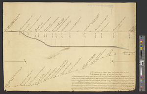
A plan & section of a survey taken April 20, 1801 on a new prepared course for the Middlesex Canal, from the south end of...
4.
A plan and section of the two routs in Woburn, say 1795 : Middlesex Canal
5.
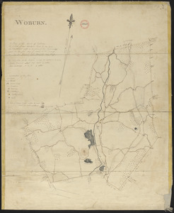
Plan of Woburn made by Bartholomew Richardson, dated 1831
6.
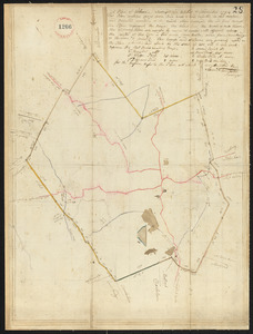
Plan of Woburn surveyed by Samuel Thompson, dated November 1794.
7.
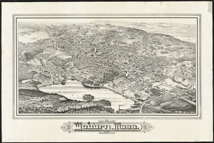
Woburn, Mass., 1883