Toggle navigation
LMEC Home
Collections
My Favorites
Exhibitions
Georeferencing
Tools for Teachers
Sign Up / Log In
Search
Search the map portal
Search
Search
Search for
Search in
All Fields
Title
Subject
Place
Creator
Search All Digital Collections
Advanced Search
8 Results
Search Constraints
My Search
Start Over
Topic
Runways (Aeronautics)--Iowa
Remove constraint Topic: Runways (Aeronautics)--Iowa
Filter your Search
Show filters
Hide filters
Place
North and Central America
8
United States
8
Iowa
6
Ames
1
Ames Municipal Airport
1
Black Hawk (county)
1
Clinton
1
Dubuque
1
more
Place
»
Topic
Runways (Aeronautics)--Iowa
[remove]
8
Aeronautical charts--Iowa
7
Airports--Iowa--Maps
5
Airports--Iowa
2
Airports--Idaho--Maps
1
Date
Begin
End
View distribution
Creator
United States. National Ocean Service
7
National Ocean Survey
1
Format
Maps/Atlases
8
Georeferenced
No
8
Collection
U.S. Government Documents Maps Collection
8
Available to use
No known restrictions
8
Sort
by relevance
relevance
title
date (asc)
date (desc)
recently added
Number of results to display per page
20
per page
per page
10
per page
20
per page
50
per page
100
per page
Search Results
1.
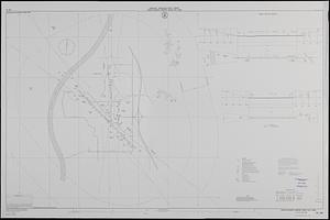
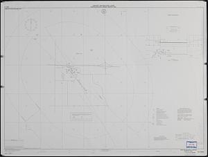
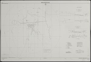
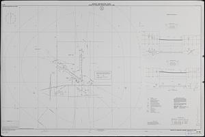
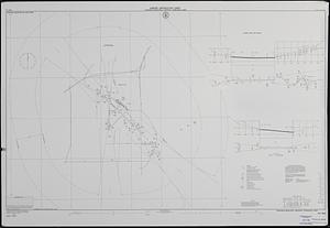
Airport obstruction chart, OC 395, Sioux Gateway Airport, Sioux City, Iowa
2.
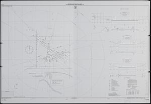
Airport obstruction chart, OC 5233, Newton Municipal Airport, Newton, Iowa
3.
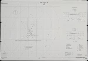
Airport obstruction chart, OC 5307, Ames Municipal Airport, Ames, Iowa
4.
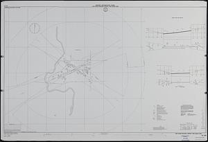
Airport obstruction chart, OC 667, Mason City Municipal Airport, Mason City, Iowa
5.
Airport obstruction chart, OC 923, Dubuque Regional Airport, Dubuque, Iowa
6.
Airport obstruction chart, OC 945, Waterloo Municipal Airport, Waterloo, Iowa
7.
Airport obstruction chart, OC 972, Clinton Municipal Airport, Clinton, Iowa
8.
Airport obstruction chart, OC 976, Fort Dodge Regional Airport, Fort Dodge, Iowa