Toggle navigation
LMEC Home
Collections
My Favorites
Exhibitions
Georeferencing
Tools for Teachers
Sign Up / Log In
Search
Search the map portal
Search
Search
Search for
Search in
All Fields
Title
Subject
Place
Creator
Search All Digital Collections
Advanced Search
32 Results
Search Constraints
My Search
Start Over
Creator
Rocque, Mary Ann
Remove constraint Creator: Rocque, Mary Ann
Filter your Search
Show filters
Hide filters
Place
North and Central America
32
United States
23
New York
20
Canada
6
Essex (county)
3
North America
3
Pennsylvania
3
Warren (county)
3
more
Place
»
Topic
United States--History--French and Indian War, 1754-1763--Maps
24
Albany (N.Y.)--Maps
2
Cities and towns--North America--Maps--Early works to 1800
2
Crown Point (N.Y.)--Maps
2
Fort William Henry (N.Y.)--Maps
2
Fort Bedford (Bedford, Pa.)--Maps
1
Fort Edward (Fort Edward, N.Y.)--Maps
1
Fort Edward (N.Y.)--Maps
1
more
Topic
»
Date
Begin
End
View distribution
Creator
Rocque, Mary Ann
[remove]
32
Andrews, Peter, active 1765-1782
6
Rocque, John, -1762
3
Dury, Andrew
1
Format
Maps/Atlases
32
Georeferenced
Yes
2
No
30
Collection
American Revolutionary War-Era Maps
32
William L. Clements Library Collection
29
MacLean Collection Map Library
3
Sort
by relevance
relevance
title
date (asc)
date (desc)
recently added
Number of results to display per page
20
per page
per page
10
per page
20
per page
50
per page
100
per page
Search Results
1.
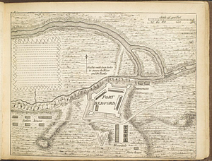
Fort Bedford
2.
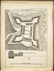
Fort William Henry
3.
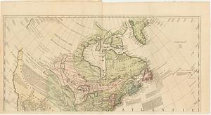
A general map of North America; in which is express'd the several new roads, forts, engagements, &c. taken from actual surveys...
4.
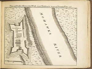
Plan and profile of retrenched work round Harkemeis house at ye German Flats 1756
5.
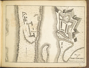
Plan of Fort Edward situated lat. 43 lon. 72 30'
6.
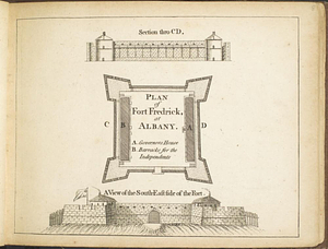
Plan of Fort Frederick at Albany
7.
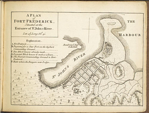
A plan of Fort Frederick, situated at the entrance of St. John's River : lat 47 long. 66 30'
8.
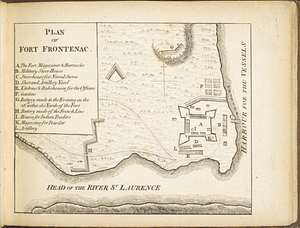
Plan of Fort Frontenac
9.
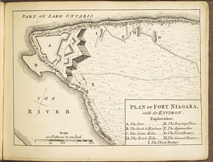
Plan of Fort Niagara, with its environ
10.
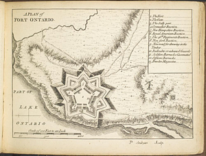
A plan of Fort Ontario
11.
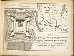
Plan of Fort Stanwix, built at Oneida Station, by provincial troops, in 1758
12.
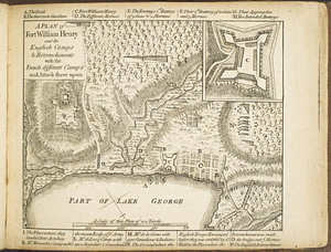
A plan of Fort William Henry and the English camps & retrenchments with the French different camps and attack there upon
13.
Plan of part of Fort George, with the barracks &c. erected in the year 1759 : situated lat. 4 30' long. 73 30'
14.
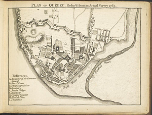
Plan of Québec, reduc'd from an actual survey 1763
15.
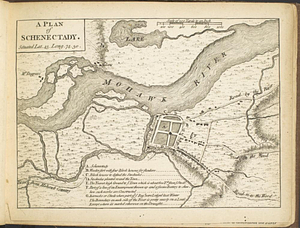
A plan of Schenectady situated lat. 43 long 74. 30
16.
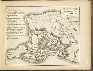
Plan of the city and fortress of Louisbourg, with the attacks
17.
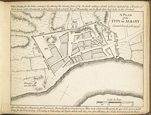
A plan of the city of Albany situated lat. 42, 30" long. 74
18.
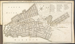
A plan of the city of New-York, reduced from an actual survey
19.
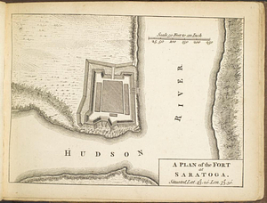
A plan of the fort at Saratoga : situated lat. 43 20' lon. 73 30'
20.
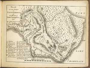
Plan of the fort at Tienderoga at the head of Lake Champlain, 1758
« Previous
Next »
1
2