Toggle navigation
LMEC Home
Collections
My Favorites
Exhibitions
Georeferencing
Tools for Teachers
Sign Up / Log In
Search
Search the map portal
Search
Search
Search for
Search in
All Fields
Title
Subject
Place
Creator
Search All Digital Collections
Advanced Search
11 Results
Search Constraints
My Search
Start Over
Creator
E. & G.W. Blunt (Firm)
Remove constraint Creator: E. & G.W. Blunt (Firm)
Filter your Search
Show filters
Hide filters
Place
North and Central America
9
United States
7
South Atlantic states
2
Alabama
1
Bahamas
1
Boston Harbor
1
Charleston
1
Charleston (county)
1
more
Place
»
Topic
Atlantic Coast (South Atlantic States)--Maps
2
Nautical charts--South Atlantic States
2
South Atlantic States--Maps
2
Atlantic Coast (U.S.)--Maps
1
Bahamas--Maps
1
Boston Harbor (Mass.)--Maps
1
Charleston (S.C.)--Maps
1
Cuba--Maps
1
more
Topic
»
Date
Begin
End
View distribution
Creator
E. & G.W. Blunt (Firm)
[remove]
11
Copley, Charles
3
Hooker, William, 1782-1856
2
Barnett, E. (Edward), 1799-1879
1
Blunt, Edmund M. (Edmund March), 1770-1862
1
Coffin, J. H. C. (John Huntington Crane), 1815-1890
1
Des Barres, Joseph F. W. (Joseph Frederick Wallet), 1729-1824
1
Kearney, James, -1862
1
more
Creator
»
Format
Maps/Atlases
11
Georeferenced
No
11
Collection
Norman B. Leventhal Map & Education Center Collection
11
Maritime Charts and Atlases
6
Boston and New England Maps
1
Available to use
No known restrictions
11
Sort
by relevance
relevance
title
date (asc)
date (desc)
recently added
Number of results to display per page
20
per page
per page
10
per page
20
per page
50
per page
100
per page
Search Results
1.
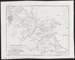
Boston Harbour : from the survey of A.S. Wadsworth Esq. U.S.N. and the chart of Des Barres
2.
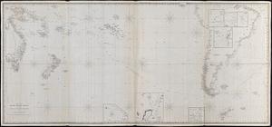
Chart of the South Pacific Ocean, from the American Expg. Expedition, Admiralty and Depot de la Marine
3.
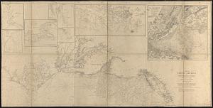
Coast of North America from Point Judith to St. Antonio, (island of Cuba) including the Bahama Banks
4.
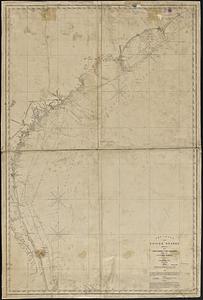
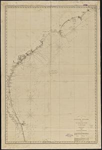
The coast of the United States, sheet no. 2 from Cape Lookout to Cape Carnaveral, from the U.S. coast surveys
5.
The coast of the United States, sheet no. 2 from Cape Lookout to Cape Carnaveral, from the U.S. coast surveys
6.
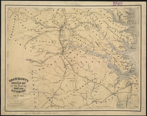
E. & G.W. Blunt's corrected map of the seat of war near Richmond, July 10th, 1862
7.
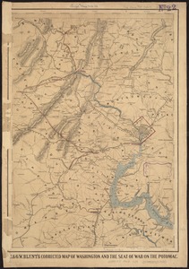
E. & G.W. Blunt's corrected map of Washington and the seat of war on the Potomac
8.
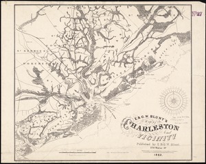
E. & G.W. Blunt's map of Charleston and vicinity
9.
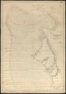
The Great Bahama Bank with its islands cays and channels
10.
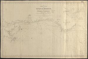
The north coast of the Gulf of Mexico, from St. Marks to Galveston
11.
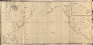
North Pacific Ocean