Toggle navigation
LMEC Home
Exhibitions
Georeferencing
Tools for Teachers
Collections
My Favorites
Sign Up / Log In
Search
Search the map portal
Map Collection
Map Collection
Map Sets
Search
Search
Search for
Search In
All Fields
Creator
Title
Subject
Place
Search All Digital Collections
Advanced Search
13385 Results
Filter your Search
Place
North and Central America
9,353
United States
7,078
Suffolk (county)
1,664
Boston
1,621
Europe
1,035
Canada
949
Massachusetts
794
New York
532
more
Place
»
Topic
Boston (Mass.)--Maps
741
City planning--Massachusetts--Boston--Maps
418
United States--History--Revolution, 1775-1783--Maps
329
United States--Maps
315
Urban renewal--Massachusetts--Boston--Maps
254
Real property--Massachusetts--Boston--Maps
252
Massachusetts--Maps
219
Insurance surveys
197
more
Topic
»
Date
Date range begin
–
Date range end
Current results range from
1482
to
2023
View distribution
Creator
United States. Hydrographic Office
595
Boston Redevelopment Authority
403
Des Barres, Joseph F. W. (Joseph Frederick Wallet), 1722-1824
247
Royal United Services Institute for Defence and Security Studies
160
Jefferys, Thomas, -1771
154
George, III, King of Great Britain, 1738-1820
152
George, IV, King of Great Britain, 1762-1830
151
O.H. Bailey & Co
148
more
Creator
»
Format
Maps/Atlases
13,205
Manuscripts
985
Prints
102
Books
49
Drawings/Illustrations
44
Photographs
15
Objects/Artifacts
13
Documents
7
more
Format
»
Georeferenced
Yes
979
No
12,406
Collection
Norman B. Leventhal Map Center Collection
8,891
American Revolutionary War-Era Maps
3,305
Boston and New England Maps
2,804
Urban Maps
2,397
Maritime Charts and Atlases
1,150
William L. Clements Library Collection
910
Library of Congress Collection
618
Boston Redevelopment Authority Collection
475
more
Collection
»
Available to use
No known restrictions
9,952
Creative Commons license
1,677
Search Constraints
Sort by relevance
relevance
title
date (asc)
date (desc)
Number of results to display per page
100 per page
10
per page
20
per page
50
per page
100
per page
View results as:
grid view
map view
Search Results
2801.
Density of population, 1820
2802.
Density of population, 1830
2803.
Density of population, 1840
2804.
Density of population, 1850
2805.
Density of population, 1860
2806.
Density of population, 1870
2807.
Density of population, 1880
2808.
Density of population, 1890
2809.
Density of population, 1900
2810.
Density of population, 1910
2811.
Density of population, 1920
2812.
Density of population in greater Tokyo - census of 1926
2813.
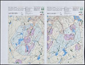
DEP water supply contamination correction program underground storage tank locations compared to natural resource data : Auburn...
2814.
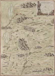
Derrotero hecho por Antonia Vélez y Escalante, misionero para mejor conocimiento de las misiones, pueblos de indios y...
2815.
Derry Depot, N.H : Rockingham County : 1887
2816.
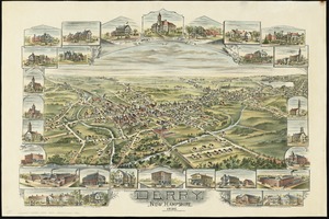
Derry, New Hampshire
2817.
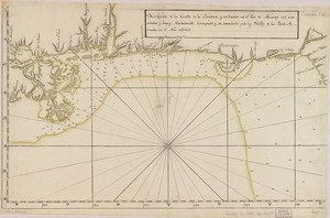
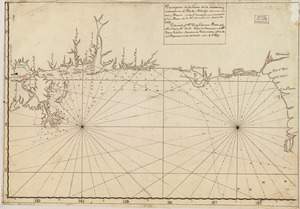
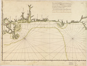
Descripción de la costa de la Luciana y entrada en el Río de Micisipi con sus sondas y bajos, nuebamente correjido y...
2818.
Descripción de la costa de la Luciana y entrada en el Río de Micisipi con sus sondas y bajos nuebamte. corregido y enmendado...
2819.
Descripción de la costa de la Luciana y entrada en el Río de Micisipi con sus sondas y bajos, nuebamte. correjido y enmendado...
2820.
Descripcion de la costa de Tierra Firme desde el Cavo de la Agusa hasta la Barra de Palmas diga de la Trinidad : Con todas las...
2821.
Descripcion de la costa de Tierra Firme desde el Rio de la Empalizada hasta Cavo de Clara : Por las latitudes y longitudes de...
2822.
Descripcion de las costas, islas placeres, i bajos delas, Indias Occidentales
2823.
Descripción ychonográfica de la ciudad, puerto y bahía de Santiago de Cuba situado en 20⁰6ʹ de latitud norte y en longd. de...
2824.
Descripsión de la costa de la Luciana y entrada en el Río de Micisipi con sus zondas y bajos, nuebamente corregidos y...
2825.
Descripsión de la costa de la Luciana y entrada en el Río de Micisipi con sus zonds. y baxos, nuebamte. correjido y enmendo...
2826.
Descriptio Corsicae insulae : Descriptio Sardiniae insulae
2827.
Description du pais de Valois
2828.
A description of the Bay of Fundy : shewing ye coast, islands, harbours, creeks, coves, rocks & sholes, soundings & anchorings &c
2829.
A description of the towne of Mannados or New Amsterdam : as it was in September, 1661, lying in lattitude 40 de. and 40 m.,...
2830.
A description of the towne of Mannados or New Amsterdam : as it was in September, 1661, lying in lattitude 40 de. and 40 m.,...
2831.
A DESCRIPTION OF THE TOWNE OF MANNADOS OR NEW AMSTERDAM as it was in September 1661 lying in Latitude 40 de: and 40,: Anno...
2832.
A descriptive map of the region within one hundred miles of the capital of the United States : portraying the principal events...
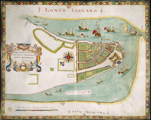
2833.
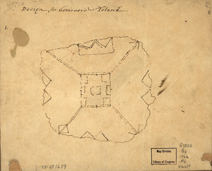
Design for Governor's Island
2834.
Desilver's maps of the seat of war
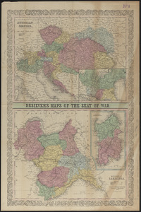
2835.
La destruction de la statue royale a Nouvelle Yorck
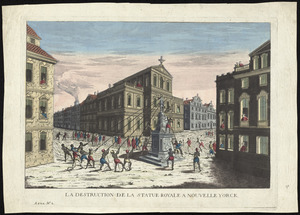
2836.
Detail map of the Atlantic & Pacific Rail Road from the Mississippi River to the Pacific Ocean
2837.
Detailed map of the seat of war from Chateau Salins to Mannheim & Worms to Strasbourg
2838.
Detroit 1820
2839.
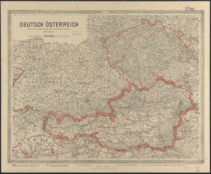
Deutsch Österreich nach den forderungen des friedensentwurfes der entente
2840.
Das Deutsche Reich : in 4 Blättern
2841.
Deutschland
2842.
Deutschland in seiner neugestaltung
2843.
Deutschland, königr. der Niederlande, kgr. Belgien und die Schweiz, nebst theilen der angränzenden länder nach Adolf...
2844.
Deutschland nebst den königreichen Holland, Belgien und der republik Schweiz
2845.
Deutschland und der gröste theil der umliegenden staaten oder Mittel-Europa in 35 blättern : nach astronomischen...
2846.
Deutschland und der gröste theil der umliegenden staaten, oder Mittel-Europa in 35 blättern : nach astronomischen...
2847.
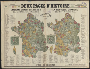
Deux pages d'histoire : l'ancienne Chambre dite des 363, elue les 20 Février et 5 Mars 1876, dissolution le 23 Juin 1877, la...
2848.
Developable lands and partial constraints : town of Taunton
2849.
Developer's kit : South Cove urban renewal area, project no. Mass. r-92, parcel r-7, residential use
2850.
Development of the Calfpasture, Boston, Massachusetts
2851.
Devoniae descriptio : the description of Devonshire
2852.
Diagram of rail roads diverging from Boston : showing the depots and distances
2853.
Diagram of the Battle of Ball's Bluff
2854.
A diagram of the triangulation for the survey of the coast of the United States, made in 1817 and 1833, and the secondary...
2855.
Diagram of the United States of America, Mexico, the West India Islands and Isthmus of Darien : showing proposed routes of the...
2856.
Diagram showing the Changuinola Railroad lines
2857.
Diagram to illustrate contrast between British and Chinese Empires
2858.
A diagrammatic road map of Central Europe : for the use of automobilists and cyclists
2859.
Dinsmore's complete map of the railroads & canals in the United States & Canada
2860.
Dinsmore's complete map of the railroads & canals in the United States & Canada
2861.
Dinsmore's new railroad map of the United States and the Canadas, showing all the railroads completed and in progress,...
2862.
Diocèse de Castres, dédié à Messire Augustin de Maupeou, Conseiller du Roy en ses Conseils Evêque de Castres
2863.
Diocese de l'archevesche de Bourges
2864.
Diocese de l'archevesché de Tours : La Touraine : Les Eslections de Tours, d'Amboise, de Loches, et de Chinon
2865.
Diocese de Lavaur descrit par ordre de Monseigneur l'illustrissime et reverendissime Charles Le Goux de Laberchere Evesque de...
2866.
Le Diocese de Limoges : divisé en ses dix huict Archipretré et les Gouvernemens de la Marche et du Limosin dans les quels il...
2867.
Diocese de Nismes
2868.
Le Diocese de Toulouse
2869.
Diocese du Mans divisee par doyennes ruraux
2870.
Diocese, prevoste, et eslection de Paris : le diocese est divisé en archipretrés, ou doyennés ruraux, la prevosté en...
2871.
Dioecese de l'Evesché d'Orleans
2872.
Dioecese de Rheims, et le païs de Rethel
2873.
Diqiu quan tu
2874.
Disappointment Group ; Reao or Serle Island ; Pukaruha or Clermont-Tonnere
2875.
Disappointment Group ; Serle Island ; Clermont-Tonnere
2876.
Disconnected : Boston's free wi-fi leaves many in the dark
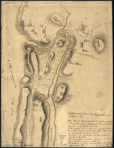
2877.
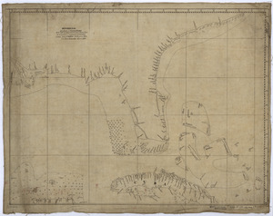
Discription [sic] of the roads about White Plains
2878.
Il disegno del discoperto della noua Franza : ilquale s'è hauuto ultimamente dalla nouissima nauigatione dè Franzesi in quel...
2879.
Disposition of British troops, with fortifications north of Fort Knipehausen, i.e. Fort Washington to Fort Independence
2880.
Disposition of the British forces before Charleston 1780
2881.
Disposition of the British forces on Long Island, Staten Island, and Manhattan Island, under Cornwallis and Knyphausen
2882.
Disposition parcel plan, central area
2883.
Disposition parcels, Charlestown urban renewal area, Massachusetts R-55
2884.
Distances North River
2885.
Distribution & strength of corps 1780
2886.
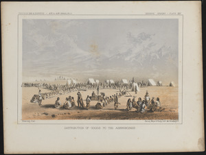
Distribution of goods to the Assiniboines
2887.
Distribution of the colored population of the United States : 1890
2888.
Distribution of the iron ores mined in the Lake Superior Region in the year 1902
2889.
Distribution of the magnetic declination in the United States in 1900
2890.
Distribution of the population of the United States : 1890
2891.
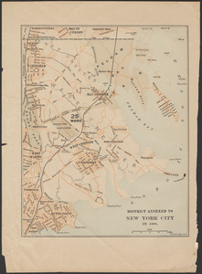
District annexed to New York City in 1895
2892.
District map of the lower Mississippi River
2893.
The district of Main from the latest surveys
2894.
District within fire limit of Tokyo - 1928
2895.
Disturnell's new map of the United States and Canada showing all the canals, rail roads, telegraph lines and principal stage...
2896.
Diversi globi terr-aquei statione variante et visu intercedente, per coluros tropicorum, per ambos polos et particul : sphaerae...
2897.
Dobroudja Campaigne, Oct. 1916 : Volhynie Campaigne, Oct. 1916 ; Izonzo Campaigne, Oct. 1916
2898.
Dodge County, Wis.
2899.
Dodgeville, Massachusetts
2900.
Domina Anglorum in America Septentrionali specialibus mappis Londini primum a Mollio edita, nunc recusa ab Homannianis Hered =...
‹ Prev
Next ›
1
2
…
25
26
27
28
29
30
31
32
33
…
133
134


![Discription [sic] of the roads about White Plains](https://bpldcassets.blob.core.windows.net/derivatives/metadata/commonwealth-oai:w3767301r/image_thumbnail_300.jpg)