Toggle navigation
LMEC Home
Exhibitions
Georeferencing
Tools for Teachers
Collections
My Favorites
Sign Up / Log In
Search
Search the map portal
Map Collection
Map Collection
Map Sets
Search
Search
Search for
Search In
All Fields
Creator
Title
Subject
Place
Search All Digital Collections
Advanced Search
13385 Results
Filter your Search
Place
North and Central America
9,353
United States
7,078
Suffolk (county)
1,664
Boston
1,621
Europe
1,035
Canada
949
Massachusetts
794
New York
532
more
Place
»
Topic
Boston (Mass.)--Maps
741
City planning--Massachusetts--Boston--Maps
418
United States--History--Revolution, 1775-1783--Maps
329
United States--Maps
315
Urban renewal--Massachusetts--Boston--Maps
254
Real property--Massachusetts--Boston--Maps
252
Massachusetts--Maps
219
Insurance surveys
197
more
Topic
»
Date
Date range begin
–
Date range end
Current results range from
1482
to
2023
View distribution
Creator
United States. Hydrographic Office
595
Boston Redevelopment Authority
403
Des Barres, Joseph F. W. (Joseph Frederick Wallet), 1722-1824
247
Royal United Services Institute for Defence and Security Studies
160
Jefferys, Thomas, -1771
154
George, III, King of Great Britain, 1738-1820
152
George, IV, King of Great Britain, 1762-1830
151
O.H. Bailey & Co
148
more
Creator
»
Format
Maps/Atlases
13,205
Manuscripts
985
Prints
102
Books
49
Drawings/Illustrations
44
Photographs
15
Objects/Artifacts
13
Documents
7
more
Format
»
Georeferenced
Yes
979
No
12,406
Collection
Norman B. Leventhal Map Center Collection
8,891
American Revolutionary War-Era Maps
3,305
Boston and New England Maps
2,804
Urban Maps
2,397
Maritime Charts and Atlases
1,150
William L. Clements Library Collection
910
Library of Congress Collection
618
Boston Redevelopment Authority Collection
475
more
Collection
»
Available to use
No known restrictions
9,952
Creative Commons license
1,677
Search Constraints
Sort by relevance
relevance
title
date (asc)
date (desc)
Number of results to display per page
20 per page
10
per page
20
per page
50
per page
100
per page
View results as:
grid view
map view
Search Results
9161.
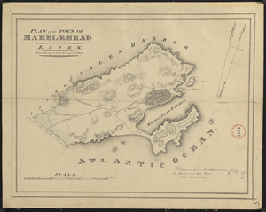
Plan of Marblehead made by John G. Hales, dated 1830
9162.
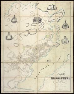
Plan of Marblehead, Mass. from actual survey
9163.
Plan of Marlborough, made by Andrew Peters, dated November 1794.
9164.
Plan of Marlborough made by William H. Wood, dated 1830
9165.
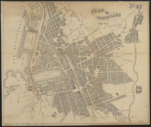
Plan of Marseilles
9166.
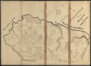
Plan of Marshfield made by John Ford, Jr., dated 1831
9167.
Plan of Marshfield, surveyor's name not given, dated 1794-5.
9168.
Plan of Mashpee
9169.
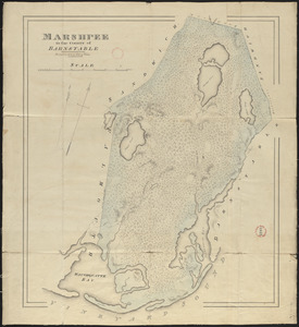
Plan of Mashpee made by John G. Hales, dated 1831
9170.
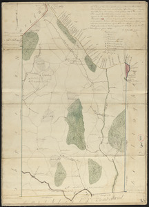
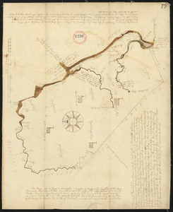
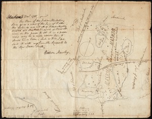
Plan of Mashpee, surveyor's name not given, probably Gideon Wood, dated [Fall, 1795]. See letter of Rev. Gideon Hawley, dated...
9171.
Plan of Mayflower Park situated in the town of Braintree owned by the Braintree Land Associates
9172.
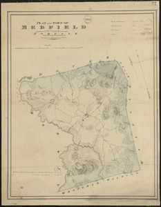
Plan of Medfield made by John G. Hales, dated 1831
9173.
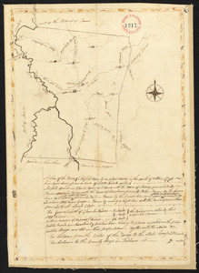
Plan of Medfield, surveyor's name not given, dated October 1794.
9174.
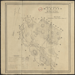
Plan of Medford made by John Sparrell, dated 1830
9175.
Plan of Medford made by Peter Tufts, Jr., dated 1794.
9176.
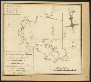
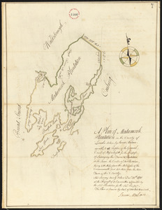
Plan of Medumcook Plantation (Friendship) surveyed by John Malcolm, dated December 28, 1795.
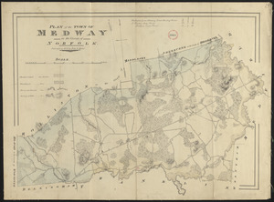
9177.
Plan of Medway made by John G. Hales, dated 1831
9178.
Plan of Medway surveyed by John Ellis Jr., probable date September 25, 1794.
9179.
Plan of Mendon made by Benjamin Read, dated November 1794.
9180.
Plan of Mendon made by Newell Nelson, dated June 1830
‹ Prev
Next ›
1
2
…
455
456
457
458
459
460
461
462
463
…
669
670
![Plan of Mashpee, surveyor's name not given, probably Gideon Wood, dated [Fall, 1795]. See letter of Rev. Gideon Hawley, dated March 24, 1797, bound with, as to errors, etc.](https://bpldcassets.blob.core.windows.net/derivatives/images/commonwealth:2227nm877/image_thumbnail_300.jpg)