Search Constraints
Search Results


![[Map of Boston and vicinity]](https://bpldcassets.blob.core.windows.net/derivatives/images/commonwealth:9s161d374/image_thumbnail_300.jpg)

![[Map of Boston and vicinity]](https://bpldcassets.blob.core.windows.net/derivatives/images/commonwealth:wd376691q/image_thumbnail_300.jpg)

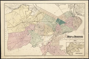
![[Map of Boston and vicinity, for the use of guests]](https://bpldcassets.blob.core.windows.net/derivatives/images/commonwealth:9s161d25b/image_thumbnail_300.jpg)


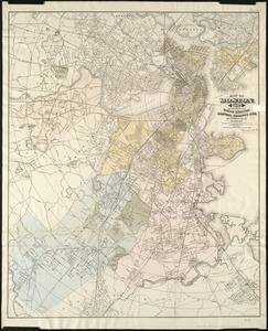
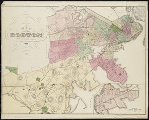
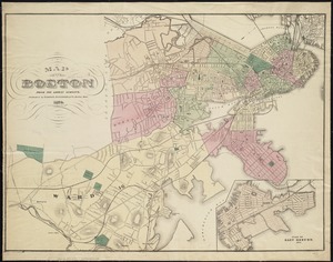
4836. Map of Boston, for 1874

4837. Map of Boston for 1874

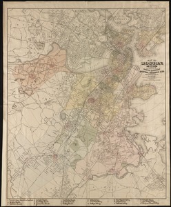
4838. Map of Boston, for 1875

4839. Map of Boston, for 1876

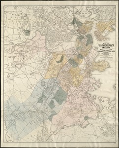
4840. Map of Boston, for 1877

4841. Map of Boston, for 1878

4842. Map of Boston, for 1879

4843. Map of Boston for 1880

4844. Map of Boston, for 1881

4845. Map of Boston, for 1881

4846. Map of Boston, for 1882
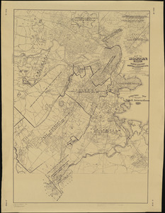
4847. Map of Boston, for 1883
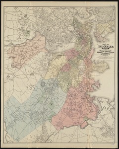
4848. Map of Boston, for 1883

4849. Map of Boston, for 1884
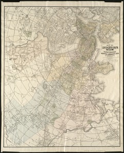
4850. Map of Boston, for 1885
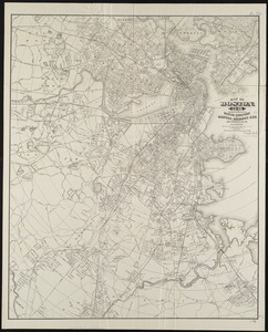
4851. Map of Boston, for 1886
4852. Map of Boston, for 1887
4853. Map of Boston, for 1888
4854. Map of Boston, for 1889


4862. Map of Boston Harbor


4869. Map of Boston proper


![[Map of Boston, showing the new wards]](https://bpldcassets.blob.core.windows.net/derivatives/images/commonwealth:9s161h691/image_thumbnail_300.jpg)


4895. Map of Cambridge


