Search Constraints
Search Results

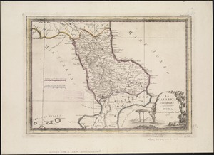
1403. La Calabria citeriore
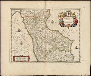
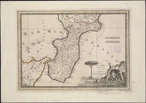
1405. La Calabria ulteriore


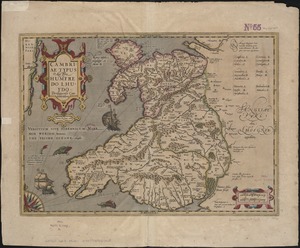
1410. Cambriae typus

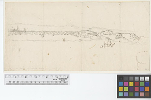
![[Cambridge with Washington's headquarters]](https://bpldcassets.blob.core.windows.net/derivatives/images/commonwealth:dz010v63x/image_thumbnail_300.jpg)


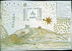
![[Campement] de l'armée franc̦oise [devant u]n village des ennemis, les Chicachas le 26 [de mais] 1736](https://bpldcassets.blob.core.windows.net/derivatives/images/commonwealth:z603vn65v/image_thumbnail_300.jpg)


1438. Canada

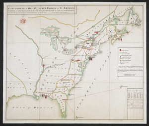
1439. Canada and Nova Scotia

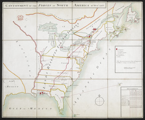
1440. Canada and Nova Scotia


1448. The Canadian west


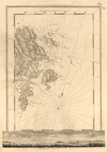
1455. Canso Harbor
1456. Canso Harbor

1457. Canso Harbor

1458. Cantium vernacule Kent


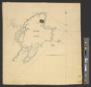
1465. Cape Ann


1470. Cape Cod

1471. Cape Cod and the islands


1473. Cape Cod Bay


1488. Capital Cordoba