Toggle navigation
LMEC Home
Exhibitions
Georeferencing
Tools for Teachers
Collections
My Favorites
Sign Up / Log In
Search
Search the map portal
Map Collection
Map Collection
Map Sets
Search
Search
Search for
Search In
All Fields
Creator
Title
Subject
Place
Search All Digital Collections
Advanced Search
13385 Results
Filter your Search
Place
North and Central America
9,353
United States
7,078
Suffolk (county)
1,664
Boston
1,621
Europe
1,035
Canada
949
Massachusetts
794
New York
532
more
Place
»
Topic
Boston (Mass.)--Maps
741
City planning--Massachusetts--Boston--Maps
418
United States--History--Revolution, 1775-1783--Maps
329
United States--Maps
315
Urban renewal--Massachusetts--Boston--Maps
254
Real property--Massachusetts--Boston--Maps
252
Massachusetts--Maps
219
Insurance surveys
197
more
Topic
»
Date
Date range begin
–
Date range end
Current results range from
1482
to
2023
View distribution
Creator
United States. Hydrographic Office
595
Boston Redevelopment Authority
403
Des Barres, Joseph F. W. (Joseph Frederick Wallet), 1722-1824
247
Royal United Services Institute for Defence and Security Studies
160
Jefferys, Thomas, -1771
154
George, III, King of Great Britain, 1738-1820
152
George, IV, King of Great Britain, 1762-1830
151
O.H. Bailey & Co
148
more
Creator
»
Format
Maps/Atlases
13,205
Manuscripts
985
Prints
102
Books
49
Drawings/Illustrations
44
Photographs
15
Objects/Artifacts
13
Documents
7
more
Format
»
Georeferenced
Yes
979
No
12,406
Collection
Norman B. Leventhal Map Center Collection
8,891
American Revolutionary War-Era Maps
3,305
Boston and New England Maps
2,804
Urban Maps
2,397
Maritime Charts and Atlases
1,150
William L. Clements Library Collection
910
Library of Congress Collection
618
Boston Redevelopment Authority Collection
475
more
Collection
»
Available to use
No known restrictions
9,952
Creative Commons license
1,677
Search Constraints
Sort by relevance
relevance
title
date (asc)
date (desc)
Number of results to display per page
100 per page
10
per page
20
per page
50
per page
100
per page
View results as:
grid view
map view
Search Results
1901.
Center of New York, first city of the world
1902.
Central & Eastern Europe (nationalities)
1903.
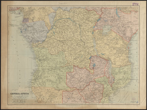
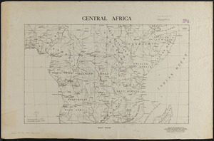
Central Africa
1904.
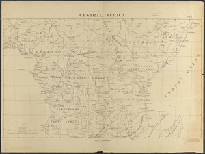
Central Africa
1905.
Central Africa
1906.
Central America, British Honduras, Belize Harbor : from a British Survey in 1829 & 30
1907.
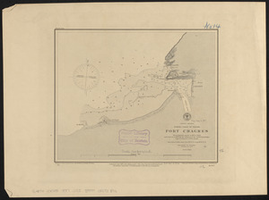
Central America, north coast of Panama, Port Chagres : from a British survey in 1829 & 1840, and a survey in 1875 by the...
1908.
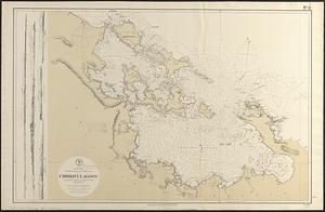
Central America, southern shore of the Caribbean Sea, Chiriqui Lagoon
1909.
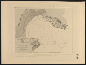
Central America, west coast of Costa Rica, Ballena Bay (Gulf of Nicoya) : from a survey in 1885 by the officers of the U.S.S....
1910.
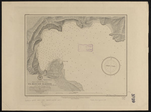
Central America, west coast of Costa Rica, El Rincon Harbor (Gulf of Dulce) : from a survey in 1885 by the officers of the...
1911.
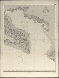
Central America, west coast of Costa Rica, Gulf of Dulce
1912.
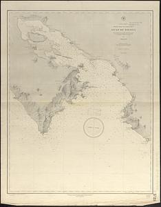
Central America, west coast of Costa Rica, Gulf of Nicoya
1913.
Central America, west coast of Costa Rica, Juanilla Bay : from a survey in 1885 by the officers of the U.S.S. Ranger, Commander...
1914.
Central America, west coast of Costa Rica, Murcielago Bay : from a survey in 1885 by the officers of the U.S.S. Ranger,...
1915.
Central America, west coast of Costa Rica, Piedra Blanca Bay : from a survey in 1885 by the officers of the U.S.S. Ranger,...
1916.
Central America, west coast of Costa Rica, Port Culebra
1917.
Central America, west coast of Costa Rica, Port Elena (Elena Bay) : from a survey in 1885 by the officers of the U.S.S. Ranger,...
1918.
Central America, west coast of Costa Rica, Potrero and Braxilito Bays : from a survey in 1885 by the officers of the U.S.S....
1919.
Central America, west coast of Costa Rica, Potrero Grande Bay : from a survey in 1885 by the officers of the U.S.S. Ranger,...
1920.
Central America, west coast of Costa Rica, Punta Arenas anchorage (Gulf of Nicoya) : from a survey in 1885 by the officers of...
1921.
Central America, west coast of Costa Rica, Uvita Bay : from a survey in 1885 by the officers of the U.S.S. Ranger, Commander...
1922.
Central America, west coast of Nicaragua, Salinas Bay : from a survey in 1885 by the officers of the U.S.S. Ranger, Commander...
1923.
Central America, west coast of Nicaragua, San Juan del Sur
1924.
Central and South Africa
1925.
Central and south Italy : to accompany the handbooks for travellers
1926.
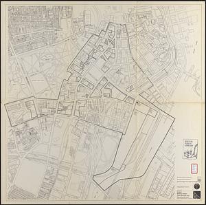
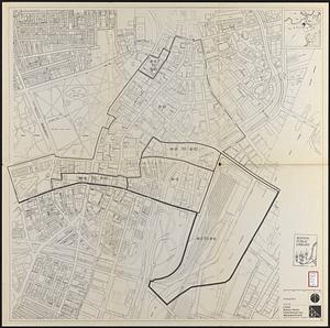
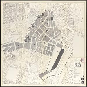
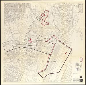
Central business district project no Mass r- : existing land use
1927.
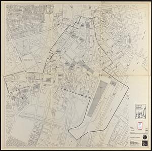
Central business district project no Mass r- : existing building condition
1928.
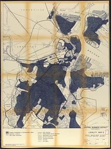
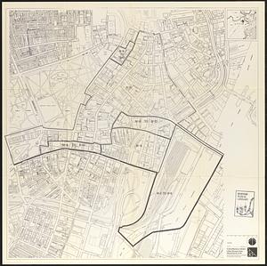
Central business district project no Mass r- : locality map 2
1929.
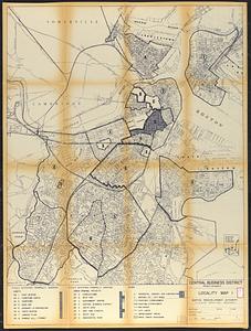
Central business district project no Mass r- : locality map 1
1930.
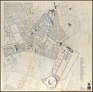
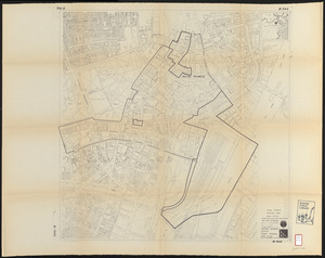
Central business district urban renewal area Massachusetts r-82 : pedestrian circulation
1931.
Central business district urban renewal area Massachusetts r-82 : vehicular circulation
1932.
Central business district urban renewal area Massachusetts r-82 : disposition parcels
1933.
Central business district urban renewal area Massachusetts r-82 : acquisition plan
1934.
Central business district urban renewal area Massachusetts r-82 : street adjustments
1935.
Central business district urban renewal area Massachusetts r-82 : zoning plan
1936.
Central business district urban renewal area Massachusetts r-82 : illustrative site plan
1937.
Central business district urban renewal area, Massachusetts r-82 : illustrative site plan
1938.
Central business district urban renewal area, Massachusetts r-82 : illustrative site plan
1939.
Central business district urban renewal area Massachusetts r-82 : disposition parcels
1940.
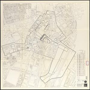
Central business district urban renewal area Massachusetts r-82 : illustrative site plan
1941.
Central business district urban renewal area Massachusetts r-82 : zoning
1942.
Central business district urban renewal area Massachusetts r-82 : proposed land use
1943.
Central business district urban renewal area Massachusetts r-82 : property map
1944.
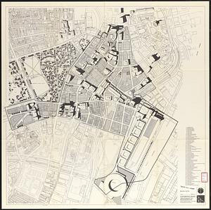
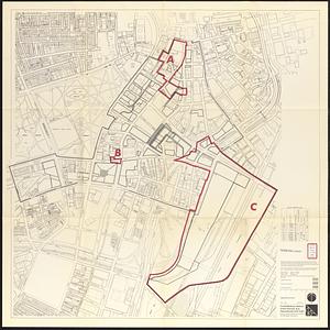
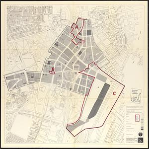
Central business district urban renewal area Massachusetts r-82 A,B,C : disposition parcels
1945.
Central business district urban renewal area Massachusetts r-82 A,B,C : proposed land use
1946.
Central business district urban renewal area Massachusetts r-82 A,B,C : zoning
1947.
Central business district urban renewal area project no. Mass. R-82L site preparation contract T : planting plan and details
1948.
Central business district urban renewal area R-82 : sub area boundaries
1949.
Central business district urban renewal area r-82 : parcel acquisition map
1950.
Central business district urban renewal area r-82 : existing land use
1951.
Central business district urban renewal area r-82 : building deficiencies
1952.
Central Europe, 1914 : showing important fortresses and strategic points affected by the great European war
1953.
Central Pacific Mills, Lawrence, Mass. [insurance map]
1954.
Central part of Boston Elevated Railway system showing connections
1955.
Central part of Boston Elevated Railway system showing connections
1956.
Central part of Boston Elevated Railway system showing connections 1903
1957.
Central part of Boston Elevated Railway system showing connections 1904
1958.
Central Virginia showing Lieut. Gen'l. U.S. Grant's Campaign and marches of the armies under his command in 1864-65
1959.
Central Warehouse Co., North Adams, Mass. [insurance map]
1960.
Central-America, southern shore of the Caribbean Sea, harbor of San Juan del Norte or Greytown
1961.
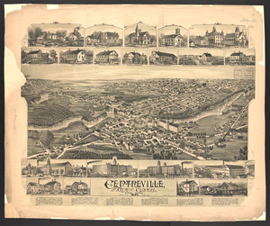
Centreville and Artic Centre, Rhode Island
1962.
Cereal map of Alberta : showing acreage under crop in each township in wheat, oats, barley and flax
1963.
Cestria comitatus Palatinus = the Countye Palatine of Chester
1964.
C.H. Guild & Co.'s newspaper map of New England
1965.
Champion-International Co., Lawrence, Mass. [insurance map]
1966.
Chancellorville
1967.
Change in median housing value, 2010 to 2018
1968.
Change in white population (non-Hispanic), 2010 to 2018
1969.
Changes in the bed of Boston Harbor from a comparison of the surveys of 1835-61
1970.
Channel on the north side of Vanua Levu from Aramula Passage to Muthuata Island, Feejee Islands
1971.
Channel on the north side of Vanua Levu from Aramula Passage to Muthuata Island, Feejee Islands
1972.
Channels around the Island of Orleans
1973.
Chapinville, Mass : 1887
1974.
Chapman's new sectional map of Wisconsin
1975.
Chapmans' Quarries : Pennsylvania, 1885
1976.
[Character conversion print errors on] Draft working map Neponset River estuary
1977.
Charles River : carries shown by red lines
1978.
Charles River
1979.
Charles River Basin contour map of lower basin from surveys and soundings made in Aug. and Sept. 1902 for Committee on Charles...
1980.
Charles River Basin contour map of upper basin from surveys and soundings
1981.
Charles River, Boston Harbor, and the proposed Charles River basin : prepared to accompany report made to Henry L. Higginson,...
1982.
Charles River embankment : Boston district
1983.
Charles River embankment, section A
1984.
[Charles Town Harbour & adjacent Islands, Country, Rivers &c]
1985.
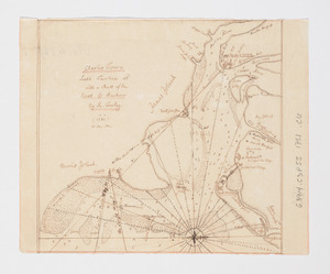
[Charles Town Neck Exhibiting the Plan of the Town and all the Fortifications in December 1781]
1986.
Charles Town, South Carolina : with a chart of the bars & harbour
1987.
Charles Town, South Carolina, with a chart of the bars & harbour
1988.
Charleston and its approaches from the sea
1989.
Charleston and the British attack of June 1776
1990.
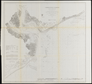
Charleston Harbor and its approaches
1991.
Charleston Harbor and its approaches showing the positions of the Rebel batteries
1992.
Charleston Harbor and its approaches showing the positions of the Rebel batteries
1993.
Charleston Harbor and its approaches showing the positions of the Rebel batteries
1994.
Charlestown
1995.
Charlestown, Breed's Hill, and Bunker Hill
1996.
Charles-town, capitale de la Caroline
1997.
Charlestown Navy Yard area
1998.
Charlestown Navy Yard master plan
1999.
Charlestown project no. Mass r-42 (GN) : existing circulation
2000.
Charlestown project no. Mass r-42 (GN) : generalized building conditions
‹ Prev
Next ›
1
2
…
16
17
18
19
20
21
22
23
24
…
133
134


![Central Pacific Mills, Lawrence, Mass. [insurance map]](https://bpldcassets.blob.core.windows.net/derivatives/images/commonwealth:4j03db739/image_thumbnail_300.jpg)


![Central Warehouse Co., North Adams, Mass. [insurance map]](https://bpldcassets.blob.core.windows.net/derivatives/images/commonwealth:9880vw923/image_thumbnail_300.jpg)


![Champion-International Co., Lawrence, Mass. [insurance map]](https://bpldcassets.blob.core.windows.net/derivatives/images/commonwealth:4j03dd758/image_thumbnail_300.jpg)


![[Character conversion print errors on] Draft working map Neponset River estuary](https://bpldcassets.blob.core.windows.net/derivatives/images/commonwealth:mc87v2589/image_thumbnail_300.jpg)


![[Charles Town Harbour & adjacent Islands, Country, Rivers &c]](https://bpldcassets.blob.core.windows.net/derivatives/images/commonwealth:hx11z271t/image_thumbnail_300.jpg)
![[Charles Town Neck Exhibiting the Plan of the Town and all the Fortifications in December 1781]](https://bpldcassets.blob.core.windows.net/derivatives/images/commonwealth:hx11z273c/image_thumbnail_300.jpg)