Toggle navigation
LMEC Home
Exhibitions
Georeferencing
Tools for Teachers
Collections
My Favorites
Sign Up / Log In
Search
Search the map portal
Map Collection
Map Collection
Map Sets
Search
Search
Search for
Search In
All Fields
Creator
Title
Subject
Place
Search All Digital Collections
Advanced Search
13385 Results
Filter your Search
Place
North and Central America
9,353
United States
7,078
Suffolk (county)
1,664
Boston
1,621
Europe
1,035
Canada
949
Massachusetts
794
New York
532
more
Place
»
Topic
Boston (Mass.)--Maps
741
City planning--Massachusetts--Boston--Maps
418
United States--History--Revolution, 1775-1783--Maps
329
United States--Maps
315
Urban renewal--Massachusetts--Boston--Maps
254
Real property--Massachusetts--Boston--Maps
252
Massachusetts--Maps
219
Insurance surveys
197
more
Topic
»
Date
Date range begin
–
Date range end
Current results range from
1482
to
2023
View distribution
Creator
United States. Hydrographic Office
595
Boston Redevelopment Authority
403
Des Barres, Joseph F. W. (Joseph Frederick Wallet), 1722-1824
247
Royal United Services Institute for Defence and Security Studies
160
Jefferys, Thomas, -1771
154
George, III, King of Great Britain, 1738-1820
152
George, IV, King of Great Britain, 1762-1830
151
O.H. Bailey & Co
148
more
Creator
»
Format
Maps/Atlases
13,205
Manuscripts
985
Prints
102
Books
49
Drawings/Illustrations
44
Photographs
15
Objects/Artifacts
13
Documents
7
more
Format
»
Georeferenced
Yes
979
No
12,406
Collection
Norman B. Leventhal Map Center Collection
8,891
American Revolutionary War-Era Maps
3,305
Boston and New England Maps
2,804
Urban Maps
2,397
Maritime Charts and Atlases
1,150
William L. Clements Library Collection
910
Library of Congress Collection
618
Boston Redevelopment Authority Collection
475
more
Collection
»
Available to use
No known restrictions
9,952
Creative Commons license
1,677
Search Constraints
Sort by relevance
relevance
title
date (asc)
date (desc)
Number of results to display per page
20 per page
10
per page
20
per page
50
per page
100
per page
View results as:
grid view
map view
Search Results
1981.
Charles River, Boston Harbor, and the proposed Charles River basin : prepared to accompany report made to Henry L. Higginson,...
1982.
Charles River embankment : Boston district
1983.
Charles River embankment, section A
1984.
[Charles Town Harbour & adjacent Islands, Country, Rivers &c]
1985.
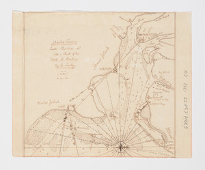
[Charles Town Neck Exhibiting the Plan of the Town and all the Fortifications in December 1781]
1986.
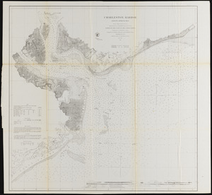
Charles Town, South Carolina : with a chart of the bars & harbour
1987.
Charles Town, South Carolina, with a chart of the bars & harbour
1988.
Charleston and its approaches from the sea
1989.
Charleston and the British attack of June 1776
1990.
Charleston Harbor and its approaches
1991.
Charleston Harbor and its approaches showing the positions of the Rebel batteries
1992.
Charleston Harbor and its approaches showing the positions of the Rebel batteries
1993.
Charleston Harbor and its approaches showing the positions of the Rebel batteries
1994.
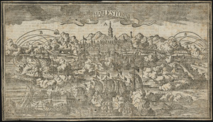
Charlestown
1995.
Charlestown, Breed's Hill, and Bunker Hill
1996.
Charles-town, capitale de la Caroline
1997.
Charlestown Navy Yard area
1998.
Charlestown Navy Yard master plan
1999.
Charlestown project no. Mass r-42 (GN) : existing circulation
2000.
Charlestown project no. Mass r-42 (GN) : generalized building conditions
‹ Prev
Next ›
1
2
…
96
97
98
99
100
101
102
103
104
…
669
670


![[Charles Town Harbour & adjacent Islands, Country, Rivers &c]](https://bpldcassets.blob.core.windows.net/derivatives/images/commonwealth:hx11z271t/image_thumbnail_300.jpg)
![[Charles Town Neck Exhibiting the Plan of the Town and all the Fortifications in December 1781]](https://bpldcassets.blob.core.windows.net/derivatives/images/commonwealth:hx11z273c/image_thumbnail_300.jpg)