Toggle navigation
LMEC Home
Exhibitions
Georeferencing
Tools for Teachers
Collections
My Favorites
Sign Up / Log In
Search
Search the map portal
Map Collection
Map Collection
Map Sets
Search
Search
Search for
Search In
All Fields
Creator
Title
Subject
Place
Search All Digital Collections
Advanced Search
15 Results
My Search
Start Over
Boston shoreline
Remove constraint Boston shoreline
Date
1995
to
1999
Remove constraint Date: <span class='from'>1995</span> to <span class='to'>1999</span>
Filter your Search
Place
North and Central America
14
United States
14
Boston
10
Suffolk (county)
10
Massachusetts
5
Hingham
2
Hull
2
Plymouth (county)
2
more
Place
»
Topic
Boston (Mass.)--Historical geography--Maps
9
Coast changes--Massachusetts--Hingham--Maps
2
Coast changes--Massachusetts--Hull--Maps
2
Coast changes--Massachusetts--Weymouth--Maps
2
Shorelines--Massachusetts--Hingham--Maps
2
Shorelines--Massachusetts--Hull--Maps
2
Shorelines--Massachusetts--Weymouth--Maps
2
Beach erosion--Massachusetts--Nomans Land--Maps
1
more
Topic
»
Date
1995
to
1999
[remove]
15
Date range begin
–
Date range end
Current results range from
1995
to
1999
1995
to
1995
3
1996
to
1996
1
1997
to
1997
2
1998
to
1998
0
1999
to
1999
9
Creator
Map Works, Inc.
9
Applied Geographics, Inc.
5
Massachusetts Coastal Zone Management Office
4
United States. Office of Ocean and Coastal Resource Management
3
United States. Army. Corps of Engineers. New England District
2
Massachusetts Bays Program
1
United States. Defense Mapping Agency
1
Format
Maps/Atlases
15
Georeferenced
Yes
2
No
13
Collection
Norman B. Leventhal Map Center Collection
15
Boston and New England Maps
14
Urban Maps
9
Applied Geographics, Inc. Records
5
Available to use
No known restrictions
15
Search Constraints
Sort by relevance
relevance
title
date (asc)
date (desc)
Number of results to display per page
20 per page
10
per page
20
per page
50
per page
100
per page
View results as:
grid view
map view
Search Results
1.
Boston shoreline 1630
2.
Boston shoreline 1795
3.
Boston shoreline 1852
4.
Boston shoreline 1880
5.
Boston shoreline 1916
6.
Boston shoreline 1934
7.
Boston shoreline 1950
8.
Boston shoreline 1995
9.
Boston shoreline composite
10.
Massachusetts CZM shoreline change analysis project
11.
Hingham/Hull Massachusetts : Massachusetts CZM shoreline change analysis project
12.
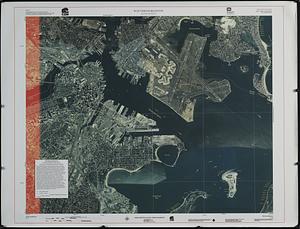
Winthrop/Boston Massachusetts : [coastal high hazard area base map]
13.
Maps of Beverly
14.
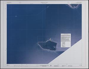
Nomans Land Massachusetts : [coastal high hazard area mapping project]
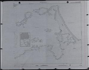
15.
Mediterranean Sea, plans on the coasts of Italy and Sicilia