Insurance map of Boston : volume 2 : plate 75
Item Information
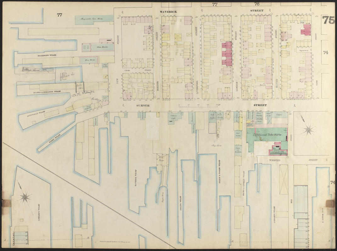
- Title:
- Insurance map of Boston : volume 2 : plate 75
- Cartographer:
- Sanborn, D. A. (Daniel Alfred), -1883
- Date:
-
1870
- Format:
-
Maps/Atlases
- Location:
-
Boston Public Library
Norman B. Leventhal Map Center - Collection (local):
-
Norman B. Leventhal Map Center Collection
- Subjects:
-
Real property--Massachusetts--Boston--Maps
Fire risk assessment--Massachusetts--Boston--Maps
East Boston (Boston, Mass.)--Maps
- Places:
-
MassachusettsSuffolk (county)BostonEast Boston
- Extent:
- 1 map : color ; 67 x 91 cm
- Terms of Use:
-
No known copyright restrictions.
No known restrictions on use.
- Publisher:
-
N.Y. :
D.A. Sanborn
- Scale:
-
Scale approximately 1:600
- Language:
-
English
- Notes:
-
"Corrected October 1870, where numbers are corrected they do not agree with index."
- Identifier:
-
06_01_012553
- Call #:
-
G1234.B6G475 S2 1870x
- Barcode:
-
39999059015428


