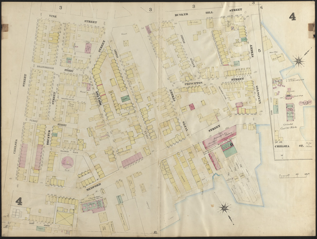
Insurance map of Charlestown : portions of Roxbury (now annexed to Boston) and Cambridge : 1868 : corrected Nov. 1871 : plate 4
Item Information
- Title:
- Insurance map of Charlestown : portions of Roxbury (now annexed to Boston) and Cambridge : 1868 : corrected Nov. 1871 : plate 4
- Cartographer:
- Sanborn, D. A. (Daniel Alfred), -1883
- Date:
-
1871
- Format:
-
Maps/Atlases
- Location:
-
Boston Public Library
Norman B. Leventhal Map Center - Collection (local):
-
Norman B. Leventhal Map Center Collection
- Subjects:
-
Fire risk assessment--Massachusetts--Boston--Maps
Real property--Massachusetts--Boston--Maps
Charlestown (Boston, Mass.)--Maps
- Places:
-
MassachusettsSuffolk (county)BostonCharlestown
- Extent:
- 1 map : color ; 68 x 80 cm
- Terms of Use:
-
No known copyright restrictions.
No known restrictions on use.
- Publisher:
-
N.Y. :
D.A. Sanborn
- Scale:
-
Scale approximately 1:600
- Language:
-
English
- Identifier:
-
06_01_016566
- Call #:
-
G1234.B6:2C38G475 S2 1871
- Barcode:
-
39999059015436


