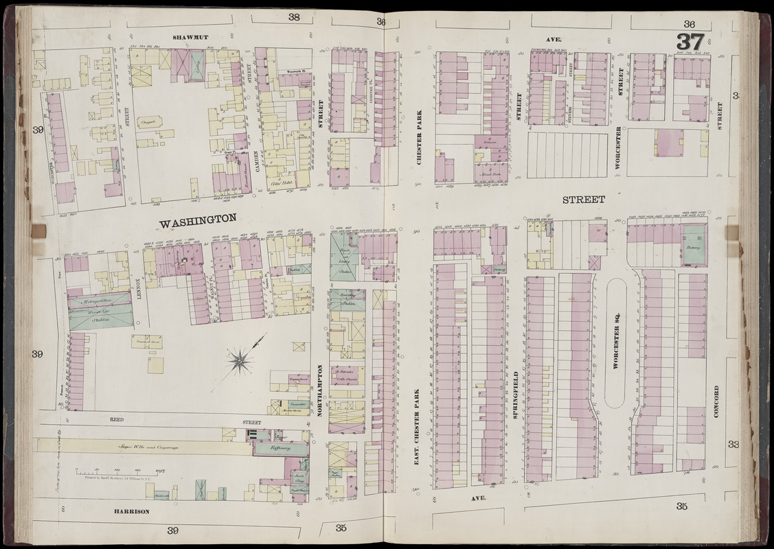
Insurance map of Boston : volume 2 : plate 37
Item Information
- Title:
- Insurance map of Boston : volume 2 : plate 37
- Cartographer:
- Sanborn, D. A. (Daniel Alfred), -1883
- Date:
-
1868
- Format:
-
Maps/Atlases
- Location:
-
Boston Public Library
Norman B. Leventhal Map Center - Collection (local):
-
Norman B. Leventhal Map Center Collection
- Subjects:
-
Real property--Massachusetts--Boston--Maps
Landowners--Massachusetts--Boston--Maps
South End (Boston, Mass.)--Maps
Roxbury (Boston, Mass.)--Maps
- Places:
-
MassachusettsSuffolk (county)BostonSouth End
MassachusettsSuffolk (county)BostonRoxbury
- Extent:
- 1 map : color ; 69 x 93 cm
- Terms of Use:
-
No known copyright restrictions.
No known restrictions on use.
- Publisher:
-
N.Y. :
D.A. Sanborn
- Scale:
-
Scale 1:600
- Language:
-
English
- Notes:
-
Digitization made possible with support from the Council on Library and Information Resources.
- Identifier:
-
G1234_B6G475_S2_1867v2_0013
- Call #:
-
G1234.B6G475 S2 1867 v.2
- Barcode:
-
39999059012060
![[Plan of boundary lines in Roxbury and the City of Boston]](https://bpldcassets.blob.core.windows.net/derivatives/images/commonwealth:1257bb127/image_thumbnail_300.jpg)


