Atlas of the city of Boston, West Roxbury, Mass., volume six : from actual surveys and official plans : plate 22
Item Information
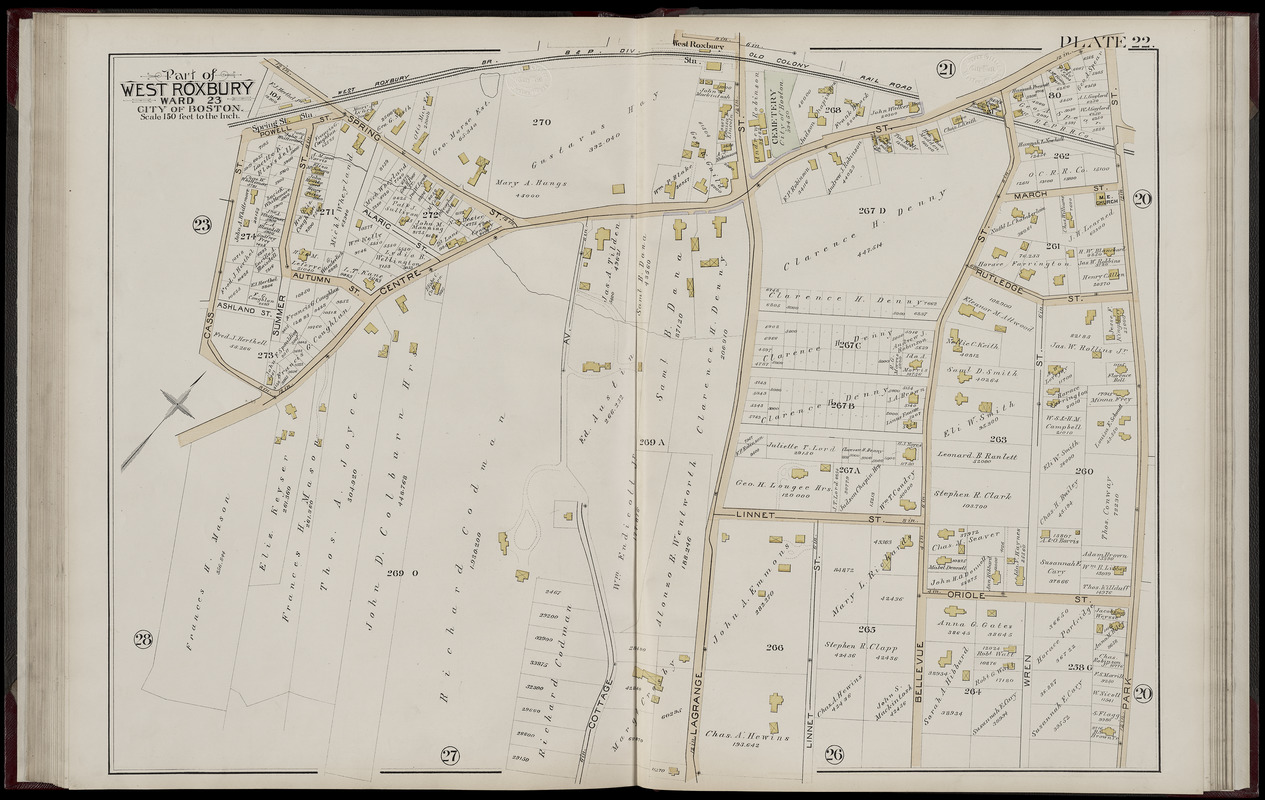
- Title:
- Atlas of the city of Boston, West Roxbury, Mass., volume six : from actual surveys and official plans : plate 22
- Title (alt.):
-
Part of West Roxbury, ward 23, city of Boston
- Cartographer:
- Bromley, George Washington
- Publisher:
- G.W. Bromley & Co.
- Cartographer:
- Bromley, Walter Scott
- Date:
-
1890
- Format:
-
Maps/Atlases
- Location:
-
Boston Public Library
Norman B. Leventhal Map Center - Collection (local):
-
Norman B. Leventhal Map Center Collection
- Subjects:
-
Real property--Massachusetts--Boston--Maps
Landowners--Massachusetts--Boston--Maps
West Roxbury (Boston, Mass.)--Maps
- Places:
-
MassachusettsSuffolk (county)BostonWest Roxbury
- Extent:
- 1 map : color ; sheet 56 x 82 cm
- Terms of Use:
-
No known copyright restrictions.
No known restrictions on use.
- Publisher:
-
Philadelphia :
G.W. Bromley and Co.
- Scale:
-
Scale 1:1,800
- Language:
-
English
- Notes:
-
Digitization made possible with support from the Council on Library and Information Resources.
- Identifier:
-
G1234_B6_B7_1888v6_0025
- Call #:
-
G1234.B6 B7 1888 v.6
- Barcode:
-
39999059011013


