Atlas of the county of Suffolk, Massachusetts : vol. 3rd including Boston and Dorchester : from actual surveys and official records : plate O
Item Information
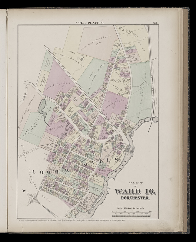
- Title:
- Atlas of the county of Suffolk, Massachusetts : vol. 3rd including Boston and Dorchester : from actual surveys and official records : plate O
- Title (alt.):
-
Part of ward 16, Dorchester
- Cartographer:
- Hopkins, Griffith Morgan, Jr.
- Engraver:
- Busch, Edward (Engraver)
- Publisher:
- G.M. Hopkins & Co.
- Name on Item:
-
by and under the direction of G.M. Hopkins, civil engineer
- Date:
-
1874
- Format:
-
Maps/Atlases
- Location:
-
Boston Public Library
Norman B. Leventhal Map Center - Collection (local):
-
Norman B. Leventhal Map Center Collection
- Subjects:
-
Real property--Massachusetts--Boston--Maps
Landowners--Massachusetts--Boston--Maps
Dorchester (Boston, Mass.)--Maps
- Places:
-
MassachusettsSuffolk (county)BostonDorchester
- Extent:
- 1 map : color ; sheet 45 x 34 cm
- Terms of Use:
-
No known copyright restrictions.
No known restrictions on use.
- Publisher:
-
Philadelphia :
G.M. Hopkins & Co.
- Scale:
-
Scale 1:3,600
- Language:
-
English
- Notes:
-
Digitization made possible with support from the Council on Library and Information Resources.
- Notes (citation):
-
Phillips, 1825
- Identifier:
-
G1233_S8_H6_1874v3_0018
- Call #:
-
G1233.S8 H6 1874 v.3
- Barcode:
-
39999059010700


