Toggle navigation
LMEC Home
Exhibitions
Georeferencing
Tools for Teachers
Collections
My Favorites
Sign Up / Log In
Search
Search the map portal
Map Collection
Map Collection
Map Sets
Search
Search
Search for
Search In
All Fields
Creator
Title
Subject
Place
Search All Digital Collections
Advanced Search
187 Results
My Search
Start Over
1900
Remove constraint 1900
Filter your Search
Place
North and Central America
146
United States
116
Massachusetts
48
Boston
26
Suffolk (county)
26
Asia
18
Cuba
13
Europe
13
more
Place
»
Topic
Boston (Mass.)--Maps
13
United States--Maps
10
Franco-Prussian War, 1870-1871--Aerial views
7
France--History--1789-1900--Aerial views
6
Germany--History--1789-1900--Aerial views
6
Havana (Cuba)--Maps
6
Luzon (Philippines)--Maps
6
New England--Maps--Early works to 1800--Facsimiles
5
more
Topic
»
Date
Date range begin
–
Date range end
Current results range from
1764
to
2005
View distribution
Creator
United States. War Department
16
United States. Congress (56th, 2nd session : 1900-1901). Senate
10
United States. Congress. Senate. Committee on Foreign Relations
10
United States. Army. Department of Cuba
9
United States. Congress (56th, 2nd session : 1900-1901). House
8
United States. Government Printing Office
8
United States. Army. Corps of Engineers
7
Geo. H. Walker & Co.
6
more
Creator
»
Format
Maps/Atlases
182
Manuscripts
7
Photographs
3
Prints
2
Books
1
Drawings/Illustrations
1
Posters
1
Georeferenced
Yes
21
No
166
Collection
Norman B. Leventhal Map & Education Center Collection
176
Boston and New England Maps
17
Urban Maps
16
Robert E. Diefenbach Map Collection at Phillips Academy
5
American Revolutionary War-Era Maps
3
Massachusetts Real Estate Atlases
3
Maritime Charts and Atlases
2
Colonial and Revolutionary Boston
1
more
Collection
»
Available to use
No known restrictions
176
Creative Commons license
2
Search Constraints
Sort by relevance
relevance
title
date (asc)
date (desc)
Number of results to display per page
20 per page
10
per page
20
per page
50
per page
100
per page
View results as:
grid view
map view
Search Results
61.
Chickamauga and Chattanooga National Military Park and approaches
62.
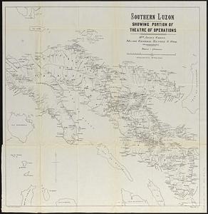
Southern Luzon, showing portion of theatre of operations : 8th Army Corps, Major General Elwell S. Otis commanding
63.
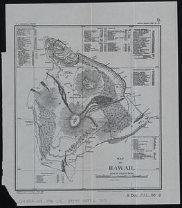
Map of Hawaii
64.
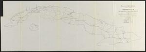
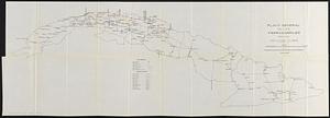
Plano general de las carreteras que merecen atencion preferente
65.
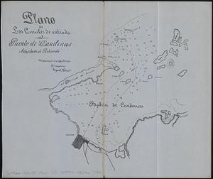
Plano de los canales de entrada al Puerto de Cardenas adaptado de Pichardo
66.
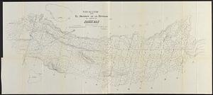
Plano general de los ferrocarriles de la Isla de Cuba
67.
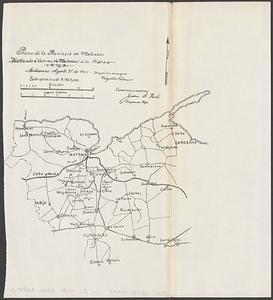
Plano de la provincia de Matanzas mostrando el camino de Matanzas á la Cidra
68.
Map of northern Luzon
69.
Plano del estudio para el dragado de la entrada al Puerto de Cardenas sondas
70.
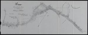
Plano del canal à Santa Ana en el camino de Matanzas á la Cidra
71.
Plano del estudio para el dragado de la entrada al Puerto de Cardenas
72.
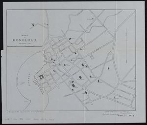
Map of Honolulu
73.
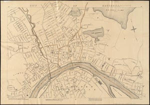
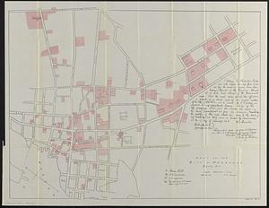
City of Haverhill, Massachusetts
74.
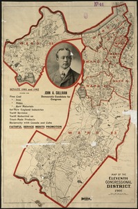
Map of the Eleventh Congressional District
75.
Porto-Rico showing road work, light houses, rail roads, towns and coast line
76.
Port Orchard, Puget Sound, Washington Ter.
77.
Part of the city of Honolulu, Oahu H.I.
78.
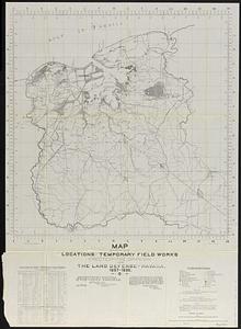
Map showing locations of temporary field works erected by the Spanish for the land defense of Havana, 1897-1898
79.
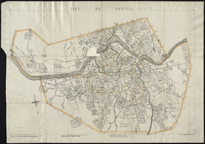
City of Lowell
80.
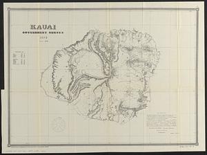
Kauai, government survey, 1878
‹ Prev
Next ›
1
2
3
4
5
6
7
8
9
10