Toggle navigation
LMEC Home
Exhibitions
Georeferencing
Tools for Teachers
Collections
My Favorites
Sign Up / Log In
Search
Search the map portal
Map Collection
Map Collection
Map Sets
Search
Search
Search for
Search In
All Fields
Creator
Title
Subject
Place
Search All Digital Collections
Advanced Search
182 Results
My Search
Start Over
1885
Remove constraint 1885
Filter your Search
Place
North and Central America
148
United States
106
Massachusetts
39
Costa Rica
17
Boston
16
Europe
16
Suffolk (county)
16
Virginia
9
more
Place
»
Topic
Boston (Mass.)--Maps
7
Grant, Ulysses S. (Ulysses Simpson), 1822-1885
5
Fire risk assessment--Massachusetts--Boston--Maps
4
Richmond (Va.)--History--Civil War, 1861-1865--Maps
4
Boston (Mass.)--Aerial views
3
Europe--Maps
3
North Carolina--Maps
3
Bahamas--Maps
2
more
Topic
»
Date
Date range begin
–
Date range end
Current results range from
1694
to
1925
View distribution
Creator
United States. Hydrographic Office
48
O.H. Bailey & Co
21
Franke, M. (Max)
11
Geological Survey (U.S.)
9
Ruebsam, E. A. (E. August)
9
Bachmann, John, fl. 1849-1885
8
Erni, A. (Adolphe)
7
Lesher, C. E. (Carl Eugene), 1885-
7
more
Creator
»
Format
Maps/Atlases
179
Manuscripts
3
Prints
2
Books
1
Georeferenced
Yes
10
No
172
Collection
Norman B. Leventhal Map & Education Center Collection
177
Urban Maps
60
Maritime Charts and Atlases
55
Boston and New England Maps
47
Lucius Beebe Memorial Library Historic Maps
1
Massachusetts Real Estate Atlases
1
Ralph Finos Map Collection at Phillips Academy
1
Sidney R. Knafel Map Collection at Phillips Academy
1
more
Collection
»
Available to use
No known restrictions
180
Search Constraints
Sort by relevance
relevance
title
date (asc)
date (desc)
Number of results to display per page
20 per page
10
per page
20
per page
50
per page
100
per page
View results as:
grid view
map view
Search Results
61.
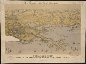
Birds eye view of Louisiana, Mississippi, Alabama and part of Florida
62.
Birds eye view of North and South Carolina and part of Georgia
63.
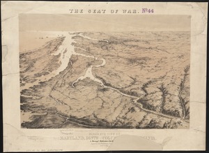
Bird's eye view of part of Maryland, Distr of Columbia and part of Virginia
64.
Birds eye view of Virginia, Maryland, Delaware and the District of Columbia
65.
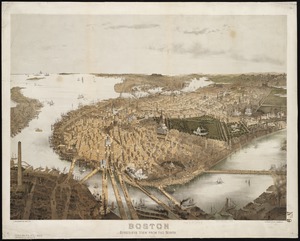
Boston : bird's-eye view from the north
66.
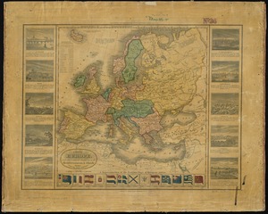
A map of Europe, and the countries bordering on the Mediterranean & Black Seas, from the latest authorities
67.
Map of North Carolina
68.
Map of North Carolina
69.
Physiographical map of North Carolina
70.
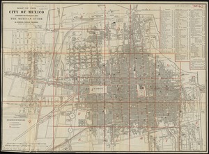
Map of the city of Mexico authorized for publication with the Mexican guide
71.
Battle of Cerro Gordo, April 17th & 18th 1847
72.
Battles of Mexico : survey of the line of operations of the U.S. Army, under command of Major General Winfield Scott, on the...
73.
Massachusetts
74.
State of Illinois coal fields and producing districts
75.
State of Indiana coal fields and producing districts
76.
State of Kentucky coal fields and producing districts
77.
State of Ohio coal fields and producing districts
78.
State of Tennessee coal fields and producing districts
79.
State of Virginia coal fields and producing districts, September 1919
80.
State of West Virginia and part of Maryland : coal fields and producing districts
‹ Prev
Next ›
1
2
3
4
5
6
7
8
9
10