Toggle navigation
LMEC Home
Exhibitions
Georeferencing
Tools for Teachers
Collections
My Favorites
Sign Up / Log In
Search
Search the map portal
Map Collection
Map Collection
Map Sets
Search
Search
Search for
Search In
All Fields
Creator
Title
Subject
Place
Search All Digital Collections
Advanced Search
187 Results
My Search
Start Over
1900
Remove constraint 1900
Filter your Search
Place
North and Central America
146
United States
116
Massachusetts
48
Boston
26
Suffolk (county)
26
Asia
18
Cuba
13
Europe
13
more
Place
»
Topic
Boston (Mass.)--Maps
13
United States--Maps
10
Franco-Prussian War, 1870-1871--Aerial views
7
France--History--1789-1900--Aerial views
6
Germany--History--1789-1900--Aerial views
6
Havana (Cuba)--Maps
6
Luzon (Philippines)--Maps
6
New England--Maps--Early works to 1800--Facsimiles
5
more
Topic
»
Date
Date range begin
–
Date range end
Current results range from
1764
to
2005
View distribution
Creator
United States. War Department
16
United States. Congress (56th, 2nd session : 1900-1901). Senate
10
United States. Congress. Senate. Committee on Foreign Relations
10
United States. Army. Department of Cuba
9
United States. Congress (56th, 2nd session : 1900-1901). House
8
United States. Government Printing Office
8
United States. Army. Corps of Engineers
7
Geo. H. Walker & Co.
6
more
Creator
»
Format
Maps/Atlases
182
Manuscripts
7
Photographs
3
Prints
2
Books
1
Drawings/Illustrations
1
Posters
1
Georeferenced
Yes
21
No
166
Collection
Norman B. Leventhal Map & Education Center Collection
176
Boston and New England Maps
17
Urban Maps
16
Robert E. Diefenbach Map Collection at Phillips Academy
5
American Revolutionary War-Era Maps
3
Massachusetts Real Estate Atlases
3
Maritime Charts and Atlases
2
Colonial and Revolutionary Boston
1
more
Collection
»
Available to use
No known restrictions
176
Creative Commons license
2
Search Constraints
Sort by relevance
relevance
title
date (asc)
date (desc)
Number of results to display per page
20 per page
10
per page
20
per page
50
per page
100
per page
View results as:
grid view
map view
Search Results
41.
Calvert's map of the lake region in New Hampshire, U.S.A.
42.
The United States of America : including all its newly acquired territory
43.
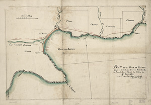
Plan de la Baye de Baynet : situeé a hiut leiues sous le vent de celle de Jacmel, levé suivant les ordres de Mr. d'Estaing le...
44.
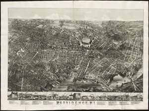
Providence, R.I
45.
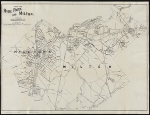
Map of Hyde Park and Milton
46.
Map of the United States of America
47.
19th annual convention of the National Association of Real Estate Boards : at Tulsa, June 7 to June 11 in 1926
48.
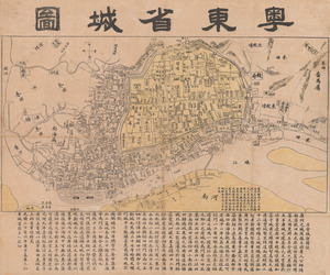
Yuedong sheng chengtu
49.
Map of Hyde Park and Milton
50.
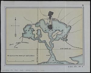
Pearl Harbor
51.
Plan of Waquoit Bay in the town of Falmouth
52.
Putman School, 6th Grade
53.
The fifth column menaces America on a thousand fronts
54.
Progress map of Signal Corps telegraph lines & cables in the military division of the Philippines : based on map of Montero y...
55.
Hawaiian or Sandwich Islands
56.
Map of central Luzon, showing a portion of the field of operations of the 8th Army Corps., Major Gen. Elwell S. Otis, commanding
57.
Fishing grounds on the Atlantic coast of North America
58.
Naval chart of the Pacific and western Atlantic
59.
Map of northern Luzon, showing a portion of the field of operations of the 8th Army Corps, Major General Elwell S. Otis commanding
60.
Progress map of Signal Corps telegraph lines & cables in the military division of the Philippines : based on map of Montero y...
‹ Prev
Next ›
1
2
3
4
5
6
7
…
9
10