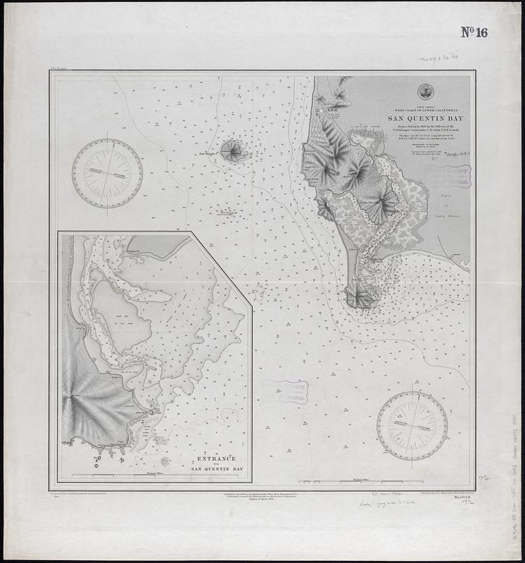
North America, west coast of lower California, San Quentin Bay : from a survey in 1886 by the officers of the U.S.S. Ranger, Commander C.E. Clark, U.S.N., comdg.
Item Information
- Title:
- North America, west coast of lower California, San Quentin Bay : from a survey in 1886 by the officers of the U.S.S. Ranger, Commander C.E. Clark, U.S.N., comdg.
- Issuing body:
- United States. Hydrographic Office
- Engraver:
- Erni, A. (Adolphe)
- Draftsman:
- Noetzel, G. (Gregor)
- Engraver:
- Ruebsam, E. A. (E. August)
- Name on Item:
-
drawn by G. Noetzel ; engraved by A. Erni and E.A. Ruebsam
- Date:
-
1888
- Format:
-
Maps/Atlases
- Genre:
-
Nautical charts
- Location:
-
Boston Public Library
Norman B. Leventhal Map & Education Center - Collection (local):
-
Norman B. Leventhal Map & Education Center Collection
- Subjects:
-
San Quintín Bay (Mexico)--Maps
Navigation--Mexico--San Quintín Bay
- Places:
-
MexicoBaja CaliforniaSan Quintín, Bahía de (bay)
- Extent:
- 1 map ; 50 x 50 cm
- Terms of Use:
-
No known copyright restrictions.
No known restrictions on use.
- Publisher:
-
Washington, D.C. :
Hydrographic Office
- Edition:
- Edition of April 1888
- Scale:
-
Scale approximately 1:73,200
- Language:
-
English
- Notes:
-
Relief shown by contours, shading and spot heights. Depths shown by soundings and isolines.
Inset: Entrance to San Quentin Bay.
- Identifier:
-
06_01_017432
- Call #:
-
G9096.P5 svar .U55 no. 1043
- Barcode:
-
39999085958880


