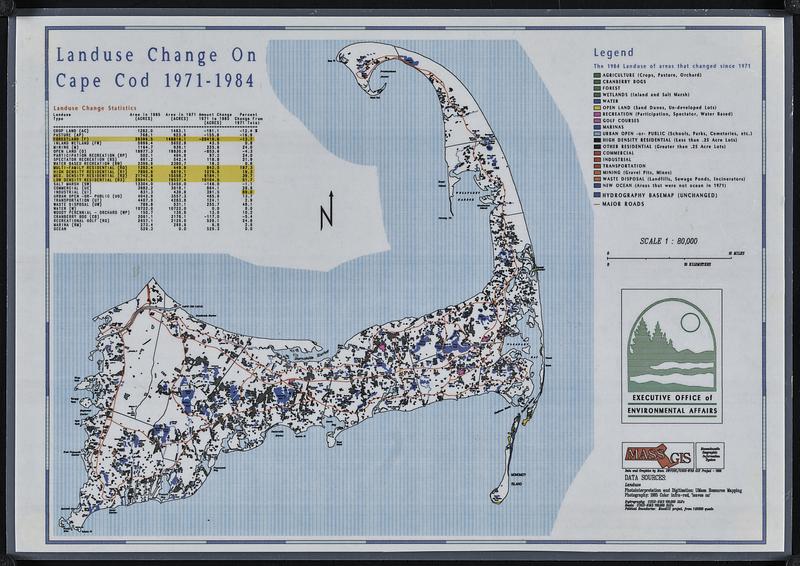
Landuse change on Cape Cod 1971-1984
Item Information
- Title:
- Landuse change on Cape Cod 1971-1984
- Title (alt.):
-
Land use change on Cape Cod 1971-1984
- Cartographer:
- Massachusetts. Executive Office of Environmental Affairs
- Contributor:
- MassGIS (Office : Mass.)
- Name on Item:
-
Executive Office of Environmental Affairs
- Date:
-
[ca. 1988]
- Format:
-
Maps/Atlases
- Genre:
-
Thematic maps
- Location:
-
Boston Public Library
Norman B. Leventhal Map & Education Center - Collection (local):
-
Applied Geographics, Inc. Records
- Subjects:
-
Cape Cod (Mass.)--Maps
Land use--Massachusetts--Cape Cod--Maps
- Places:
-
MassachusettsBarnstable (county)Cape Cod (area)
- Extent:
- 1 map : color, plastic-coated ; 27 x 37 cm
- Terms of Use:
-
No known copyright restrictions.
No known restrictions on use.
- Publisher:
-
[Massachusetts] :
Executive Office of Environmental Affairs
- Scale:
-
Scale 1:80,000
- Language:
-
English
- Notes:
-
"Data and graphics by Mass. HWFSSC/USGS-WRD GIS Project - 1988."
Includes landuse change statistics.
- Identifier:
-
06_01_018910
- Call #:
-
AppGeo Folder 3 no. 8
- Barcode:
-
30000008056476


