Topographic map of Boston, Mass.

Item Information
- Title:
- Topographic map of Boston, Mass.
- Description:
-
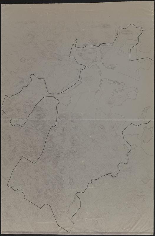
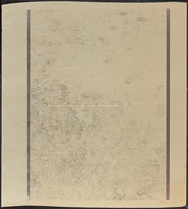
Topographic base map of the Boston area. Second map consists of base map printed on the verso of translucent paper, with the city boundary outlined in graphic art tape and shoreline and water features outlined in manuscript pencil on the recto of the paper.
- Date:
-
[1980?–1989?]
- Format:
-
Maps/Atlases
- Genre:
-
Topographic maps
Manuscript maps
- Location:
-
Boston Public Library
Norman B. Leventhal Map Center - Collection (local):
-
Boston Public Library Collection
- Subjects:
-
Boston (Mass.)--Maps
- Places:
-
MassachusettsSuffolk (county)Boston
- Extent:
- 2 maps ; 112 x 79 cm, on sheets 120 x 79 and 119 x 108 cm
- Terms of Use:
-
No known copyright restrictions.
No known restrictions on use.
- Publisher:
-
[Place of publication not identified] :
[publisher not identified]
- Scale:
-
Scale approximately 1:19,200
- Notes:
-
Relief shown by contours.
- Identifier:
-
06_01_017833
- Call #:
-
BRA MAP FOLDER 34 no.3
- Barcode:
-
30000007747780


