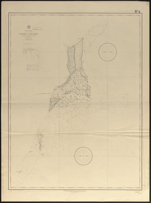
West Indies, Bahama Islands, Turk's Islands : from British surveys in 1830 and 1845, 1886
Item Information
- Title:
- West Indies, Bahama Islands, Turk's Islands : from British surveys in 1830 and 1845, 1886
- Issuing body:
- United States. Hydrographic Office
- Engraver:
- Ruebsam, A. C. (Adolph C.)
- Engraver:
- Sefton, W. P. (William P.)
- Engraver:
- Waddey, J. A. (John A.)
- Name on Item:
-
drawn by A.C. Ruebsam ; engraved by W.P. Sefton and J.A. Waddey
- Date:
-
[1889]
- Format:
-
Maps/Atlases
- Genre:
-
Nautical charts
- Location:
-
Boston Public Library
Norman B. Leventhal Map & Education Center - Collection (local):
-
Norman B. Leventhal Map & Education Center Collection
- Subjects:
-
Turks and Caicos Islands--Maps
Nautical charts--Turks and Caicos Islands
- Places:
-
Turks and Caicos Islands (territory)
- Extent:
- 1 map ; 83 x 62 cm
- Terms of Use:
-
No known copyright restrictions.
No known restrictions on use.
- Publisher:
-
Washington, D.C. :
Hydrographic Office
- Edition:
- Edition of February 1889
- Scale:
-
Scale approximately 1:73,300
- Language:
-
English
- Notes:
-
Relief shown by shading, form lines and spot heights. Depths shown by soundings and isolines.
- Notes (date):
-
This date is inferred.
- Identifier:
-
06_01_017097
- Call #:
-
G9096.P5 svar .U55 no. 1000
- Barcode:
-
39999085954509


