Massachusetts river basins
Item Information
- Title:
- Massachusetts river basins
- Cartographer:
- Massachusetts. Division of Water Resources
- Cartographer:
- Weaver, David Judkins, 1951-
- Publisher:
- Massachusetts. Department of Fisheries, Wildlife, and Environmental Law Enforcement
- Issuing body:
- Massachusetts. Executive Office of Environmental Affairs
- Contributor:
- Massachusetts. Water Resources Commission
- Contributor:
- United States. Soil Conservation Service
- Contributor:
- Geological Survey (U.S.)
- Contributor:
- Massachusetts. Department of Community Affairs
- Name on Item:
-
prepared by Department of Environmental Management, Division of Water Resources
- Date:
-
1988
- Format:
-
Maps/Atlases
- Location:
-
Boston Public Library
Norman B. Leventhal Map & Education Center - Collection (local):
-
David Judkins Weaver Papers
- Subjects:
-
Massachusetts--Maps
Watersheds--Massachusetts--Maps
- Places:
-
Massachusetts
- Extent:
- 1 map : color ; 57 x 91 cm
- Terms of Use:
-
No known copyright restrictions.
No known restrictions on use.
- Publisher:
-
[Boston, Massachusetts] :
Reprinted by Dept. of Fisheries, Wildlife & Environmental Law Enforcement
- Scale:
-
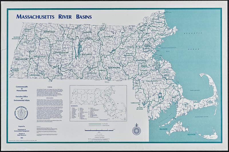
Scale 1:333,333. 1 inch = 5.26 miles
- Language:
-
English
- Table of Contents:
-
Purpose
Explanation
References
- Notes:
-
Includes text, notes, inset of "River basins" with key, and logo of the Water Resources Commission.
"Cartographer: David Weaver."
"Base map: U.S. Department of Agriculture, Soil Conservation Service from U.S. Geological Survey Maps, 1:250,000 series."
"Town boundaries: Massachusetts Department of Community Affairs."
- Identifier:
-
06_01_018812
- Call #:
-
Weaver folder 15 no. 12


