British Library
The British Museum's Department of Printed Books was founded in 1753, the year of the foundation of the Museum itself. Over the intervening two hundred years, the library of the British Museum had grown into one of the largest in the world, sustained by its privilege of legal deposit whereby it was entitled to a copy of most items printed in the United Kingdom - not only books and periodicals, but newspapers, maps and printed music. The British Library was established in 1972 as a national center for reference, study and bibliographical and other information services, in relation both to scientific and technological matters and to the humanities.
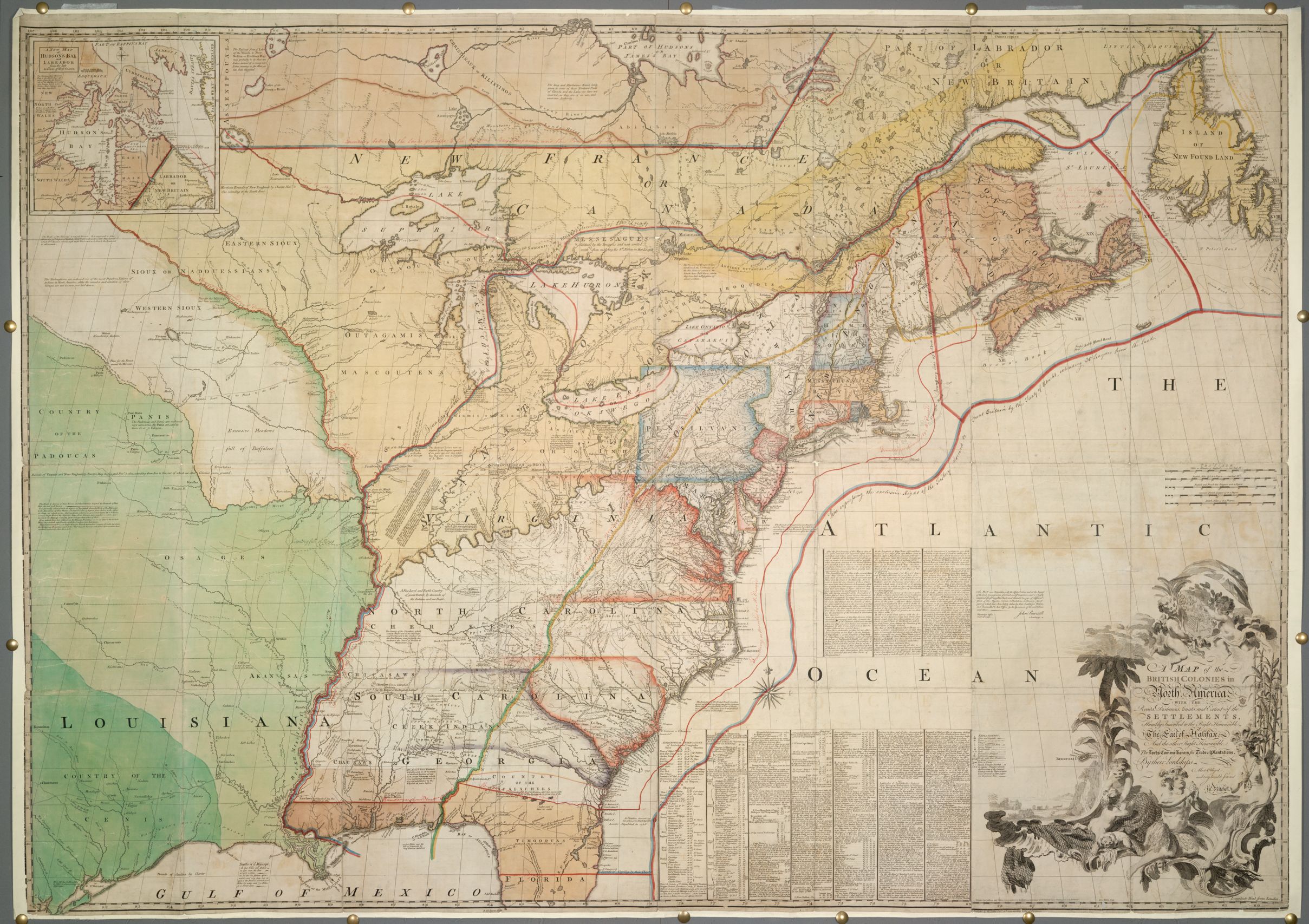
The British Library has one of the largest collections of maps, plans and topographical views in the world, numbering some 4.5 million, with a chronological spread of over 2,000 years. Our selection of approximately 350 digital images consists mainly of manuscript maps related to eastern North America and the West Indies during the American Revolutionary War era. These maps were selected primarily from the King George III Topographical Collection, but were supplemented from other 18th century collections of manuscript maps held by the British Library.
https://www.bl.uk/
The British Museum's Department of Printed Books was founded in 1753, the year of the foundation of the Museum itself. Over the intervening two hundred years, the library of the British Museum had grown into one of the largest in the world, sustained by its privilege of legal deposit whereby it was entitled to a copy of most items printed in the United Kingdom - not only books and periodicals, but newspapers, maps and printed music. The British Library was established in 1972 as a national center for reference, study and bibliographical and other information services, in relation both to scientific and technological matters and to the humanities.
The British Library has one of the largest collections of maps, plans and topographical views in the world, numbering some 4.5 million, with a chronological spread of over 2,000 years. Our selection of approximately 350 digital images consists mainly of manuscript maps related to eastern North America and the West Indies during the American Revolutionary War era. These maps were selected primarily from the King George III Topographical Collection, but were supplemented from other 18th century collections of manuscript maps held by the British Library.
https://www.bl.uk/